Canadian Maritimes New Brunswick Nova Scotia Newfoundland 1863 Mitchell map
Brian DiMambro- Antiquarian Books, Maps & Prints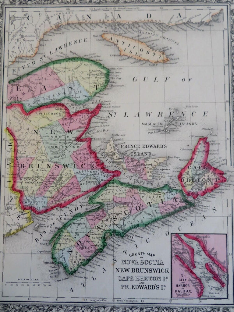

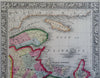
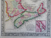
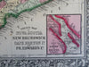
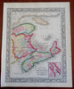
County Map of Nova Scotia, New Brunswick, Cape Breton Island, and Prince Edward Island.
(Old Maps, 19th Century Map, North America, Canada, Maritimes, Nova Scotia, New Brunswick, Cape Breton Island, Prince Edward Island, Halifax).
Issued 1863, Philadelphia by S. Augustus Mitchell.
There are many variant issues of this map, with differing borders and interior details. A comparison with other Mitchell maps of the 1860's-80's era will reveal this on close inspection.
Mid 19th century antique engraved map with original hand color. Decorative border greatly enhances visual appeal.
Well preserved, nice looking example with pleasing age patina.
Sheet Measures c. 12 1/2" H x 15" W.
Engraved Area Measures c. 10 1/2" H x 14" W.
Cartographic Reference(s):
Tooley's Dictionary of Mapmakers, vol. 3.
[R29128].