Canadian Maritimes Nova Scotia New Brunswick 1865 Johnston large folio map
Brian DiMambro- Antiquarian Books, Maps & Prints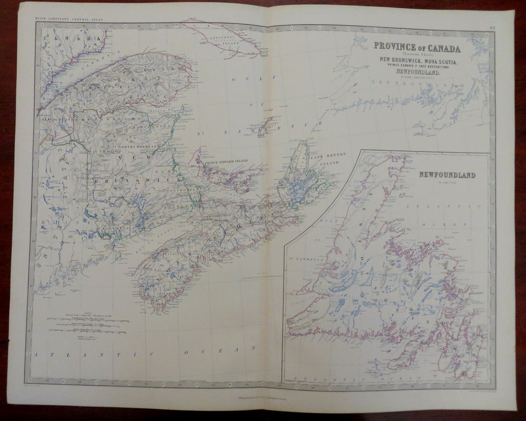
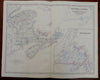
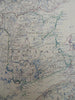
Province of Canada (Eastern Sheet) New Brunswick, Nova Scotia, Prince Edward Island, Cape Breton Island, Newfoundland.
(Old Maps, 19th Century Maps, North America, Canada, Maritimes, New Brunswick, Nova Scotia, Newfoundland, Prince Edward Island).
Issued 1865, Edinburgh & London by Wm. Blackwood for K. Johnston.
Fine oversize mid 19th century engraved map with original outline hand color. A nice large map of the era.
From an uncommon atlas, a monumental folio production which was quite expensive in its day and hence had a relatively small circulation compared to smaller format atlases.
Well preserved, clean, nice looking example with pleasing age patina.
Original center fold as issued. Printed on heavy thick paper, shipped in a tube weighing over 8 ounces.
Sheet Measures c. 19 1/2" H x 24" W.
Engraved Area Measures c. 17 1/4" H x 22 1/2" .
Cartographic Reference(s):
Tooley's Dictionary of Mapmakers, vol. 2.
[R30009].