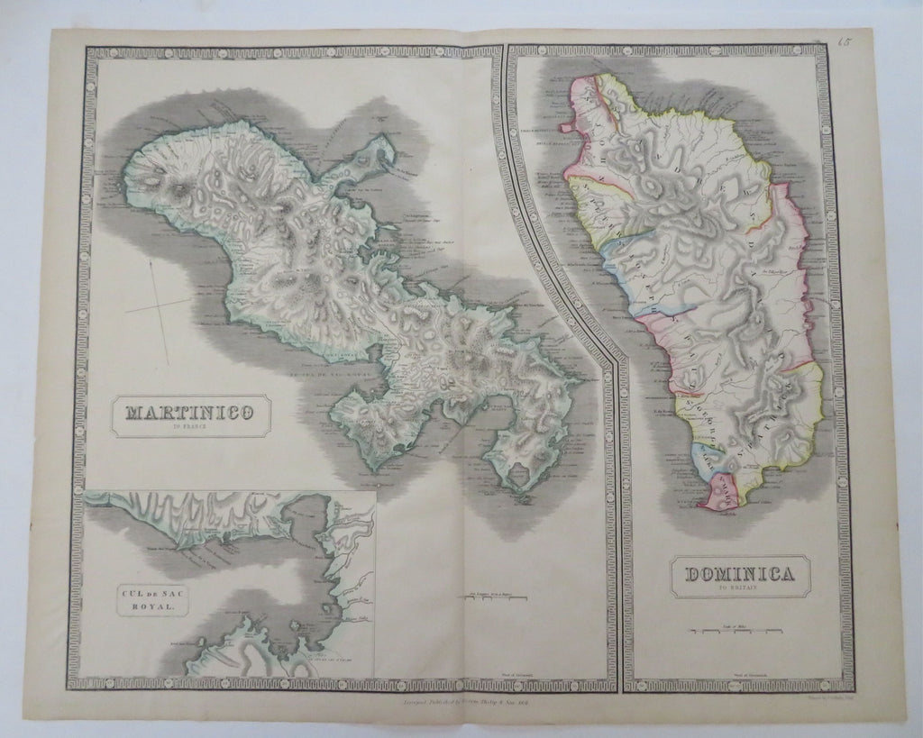
Caribbean Islands Colonial Possessions Martinique Dominica 1851 Philip map
Brian DiMambro


Martinico, to France & Dominica, to Britain.
(Old Maps, 19th Century Maps, North America, Caribbean Sea, Martinique, Dominican Republic).
Issued 1851, Liverpool by George Philip & Son.
Fine and uncommon mid-19th century engraved map with original hand color. Large oversized format.
Original fold line as issued. Clean, fine example.
Sheet measures c. 25 7/8" W x 21 1/8" H.
Engraved area measures c. 23 1/4" W x 19 3/4" H.
Tooleys Dictionary of Mapmakers , v. 3, p. 421*.
[R35740].
