Caribbean Islands Leeward Island Cuba Hispaniola 1860 Bartholomew map
Brian DiMambro- Antiquarian Books, Maps & Prints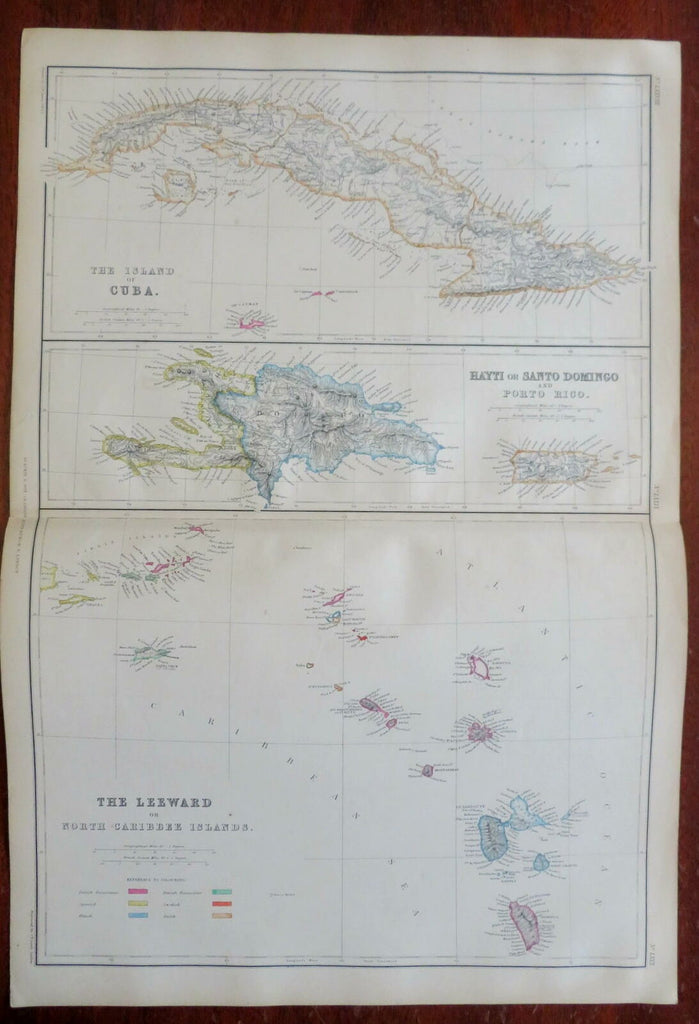
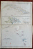
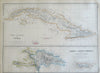
The Leeward or North Caribbee Islands - The Island of Cuba - Hayti or Santo Domingo and Porto Rico.
(North America, Caribbean Sea, Cuba, Hispaniola, Haiti, Dominican Republic, Puerto Rico).
Issued 1860, Glasgow by Blackie & Son. Engraved by J. Bartholomew.
Fine oversize mid 19th century engraved map with original outline hand color. Six different colonial powers are identified in the color key at lower left.
From an uncommon atlas of the era, a monumental folio production which was quite expensive in its day.
Well preserved, clean, nice looking example with pleasing age patina, short closed split in side blank margin. Old writing and a colored letter hand drawn on blank reverse of one side (invisible when viewing map and mentioned only for curiosity and accuracy sake).
Original center fold as issued.
Sheet Measures c. 21 1/2" x 14 5/8".
Engraved Area Measures c. 19 1/2" x 13 1/2" .
Cartographic Reference(s):
Tooley's Dictionary of Mapmakers, vol. 1, 143.
[R26987].