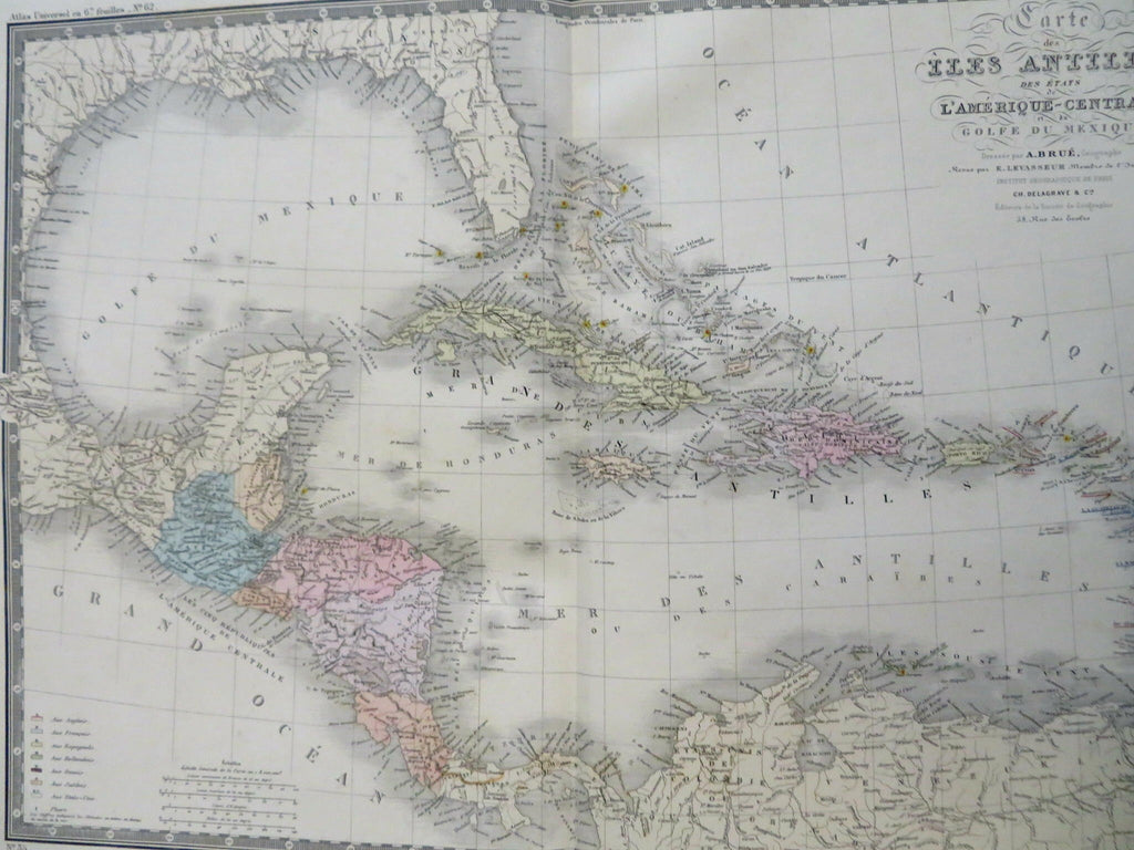
Caribbean Sea Cuba Jamaica Bahamas 1875 Brue large detailed map hand color
Brian DiMambro


Carte des Iles Antilles Des Etats de L'Amerique-Central et du Golfe du Mexique.
(Old Maps, 19th Century Maps, North America, Caribbean Sea, Cuba, Jamaica, Puerto Rico, Haiti, Dominican Republic, Bahamas).
Issued 1875, Paris by A. Brue. [Delagrave].
Lovely and uncommon 19th century folio sheet antique map. Engraved with original hand color, piano key border.
Longitude given from Paris, this version of the map is an uncommon variant unique to this moment in time.
Overall clean and attractive example..
Original fold line as issued.
Sheet measures c. 19" x 24 1/2"
Engraved area measures c. 14" x 20"
[R30666]
Tooley's Dictionary of Mapmakers, v. 1, p. 199.
