Central America Guatemala Nicaragua Panama Volcanoes c. 1850 German color map
Brian DiMambro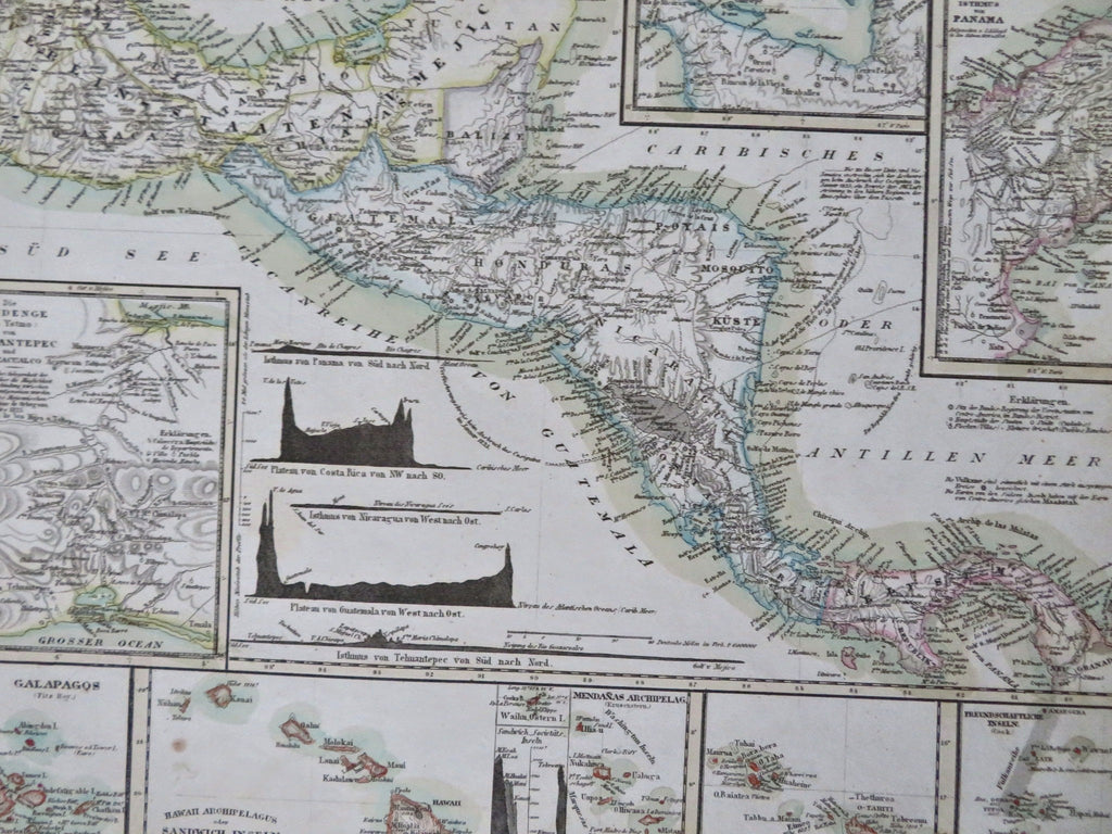
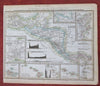
Mittelamerica mit den Special Karten uber die Vulkanreise von Guatemala, die Landengen von Thuantepac, Nicaragua, und Panama und die Central Vulkane der Sud See.
(Old Maps, 19th Century Maps, North America, Central America, Guatemala, Nicaragua, Panama).
Issued c. 1850, Hildburghausen, Germany by the Bibliographic Institute.
Mid 19th century antique engraved map with original outline hand color.
Well preserved, nice looking example with pleasing age patina.
Sheet Measures c. 11 3/4" H x 9 3/4" W.
Engraved Area Measures c. 9 3/4" H x 7 1/4" W.
Cartographic Reference(s):
Tooley's Dictionary of Mapmakers, vol. 1.
[R33644].