Austria-Hungary Germany Prussia Central Europe 1850 Tardieu fine large color map
Brian DiMambro- Antiquarian Books, Maps & Prints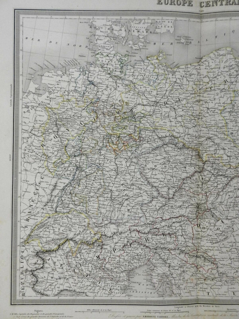
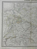
Europe Centrale.
(Europe, Central Europe, German Confederation, Kingdom of Prussia, Bohemia, Austria-Hungary, Poland, Northern Italy).
Issued c. 1848-52, Paris by Tardieu.
Attractive large mid 19th century engraved map with original hand color. Piano key border.
Well preserved, nice looking example with pleasing age patina.
Original center fold as issued.
Sheet Measures c. 16 1/2" H x 20 1/2" W.
Engraved Area Measures c. 13 1/4" H x 16 3/4" W.
Cartographic Reference(s):
Tooley's Dictionary of Mapmakers, vol. 4.
[R26630-BR225].