Chinese Empire Mongolia Manchuria Tibet Korea Japan 1846 Thierry hand color map
Brian DiMambro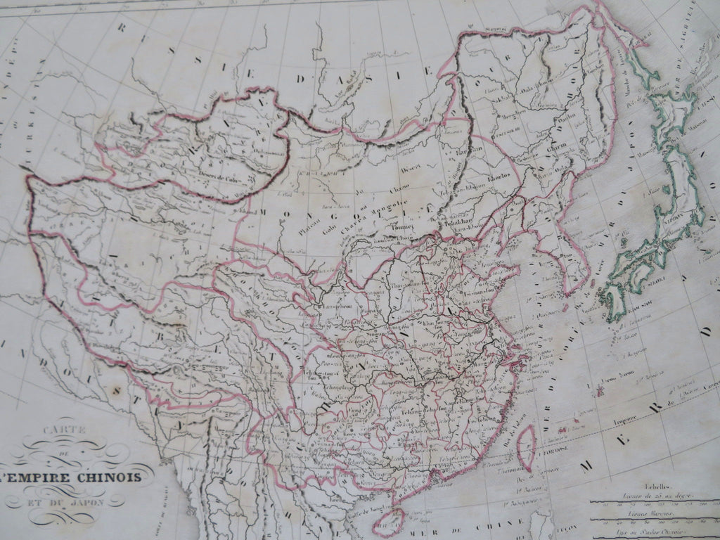
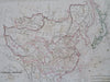
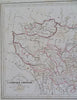
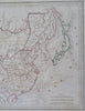
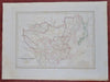
Carte de L'Empire Chunois et du Japon.
(Old Maps, 19th Century Maps, Asia, Qing Empire, China, Mongolia, Tibet, Manchuria, Korea, Japan).
Issued 1846, Paris. Engraved by Thierry.
Mid 19th century engraved map with original outline hand color. Sea of Korea is labelled as such.
Remains a nice looking example with a pleasing age patina. Any age flaws mostly minor and easy to overlook or forgive.
Sheet Measures c. 12" H x 15 1/2" W.
Engraved Area Measures c. 8 3/4" H x 11 3/4" W.
Cartographic Reference(s):
Tooley's Dictionary of Mapmakers, vol. 4..
[R32359].