Chusan Zhoushan Zhejiang Province China Shanghai 1799 Allart Dutch coast map
Brian DiMambro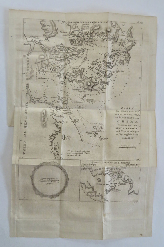
Kaart der Eilanden ten Zuiden van Chu-San, op de Ookstkust van China volgens die van Alex D'Alrymple; met Veranderingen en Byvoegfels, door J. Barrow.
(Old Maps, 18th Century Maps, China, Zhoushan, Zhejiang Province, Chinese Coastline, Nautical Cartography, Chu-San Island).
Issued Amsterdam, 1799 by J. Allart. Engraved by A. Zurcher.
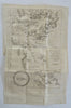
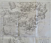
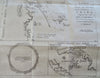
Excellent and very uncommon late 18th-turn of the 19th century antique engraved Dutch map of the Chinese coast based upon English surveys under Macartney.
Inset lower right titled Schets volgens het Kompas. nautical ship tracks of voyage shown with anchorage spot.
Minor light surface age wear and toning as typical, but overall a superior visual example. Lower left margin trimmed narrow to neat line as issued to facilitate folding, the top portion being an inset tab with the original slight movable tab.
Original fold lines as issued.
Sheet measures c. 10" x 16"
Engraved area measures c. 8 1/2" x 12 1/2"
Tooley's Dictionary of Mapmakers, vol. I, pg. 21.
[B13738].