Corsica Western France Nantes La Rochelle Rochefort 1875 Lemercier large map
Brian DiMambro- Antiquarian Books, Maps & Prints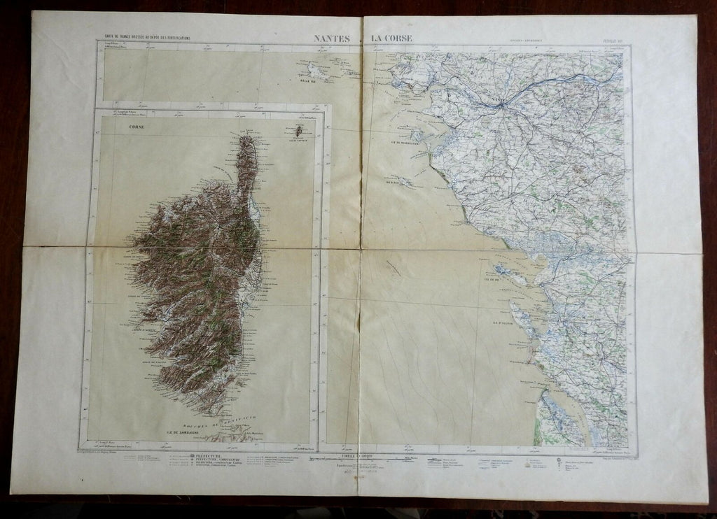

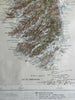
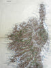
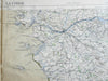
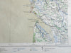
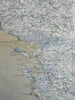
Nantes La Corse.
(Europe, France, Brittany, Corsica, Rochefort, Nantes, La Rochelle).
Issued 1875, Paris by Lemercier. Engraved by Erhard.
Late 19th century color lithographed map, dissected and backed on sturdy linen paper long ago.
Remains a nice looking example with a pleasing age patina, light minor surface dustiness or spot soiling, couple archival tape repairs along linen edges on reverse. Any age flaws mostly minor and easy to overlook or forgive.
Sheet Measures c. 24 3/4" H x 34" W.
Engraved Area Measures c. 21" H x 27 3/4" W.
Cartographic Reference(s):
Tooley's Dictionary of Mapmakers, vol. 3.
[R25463].