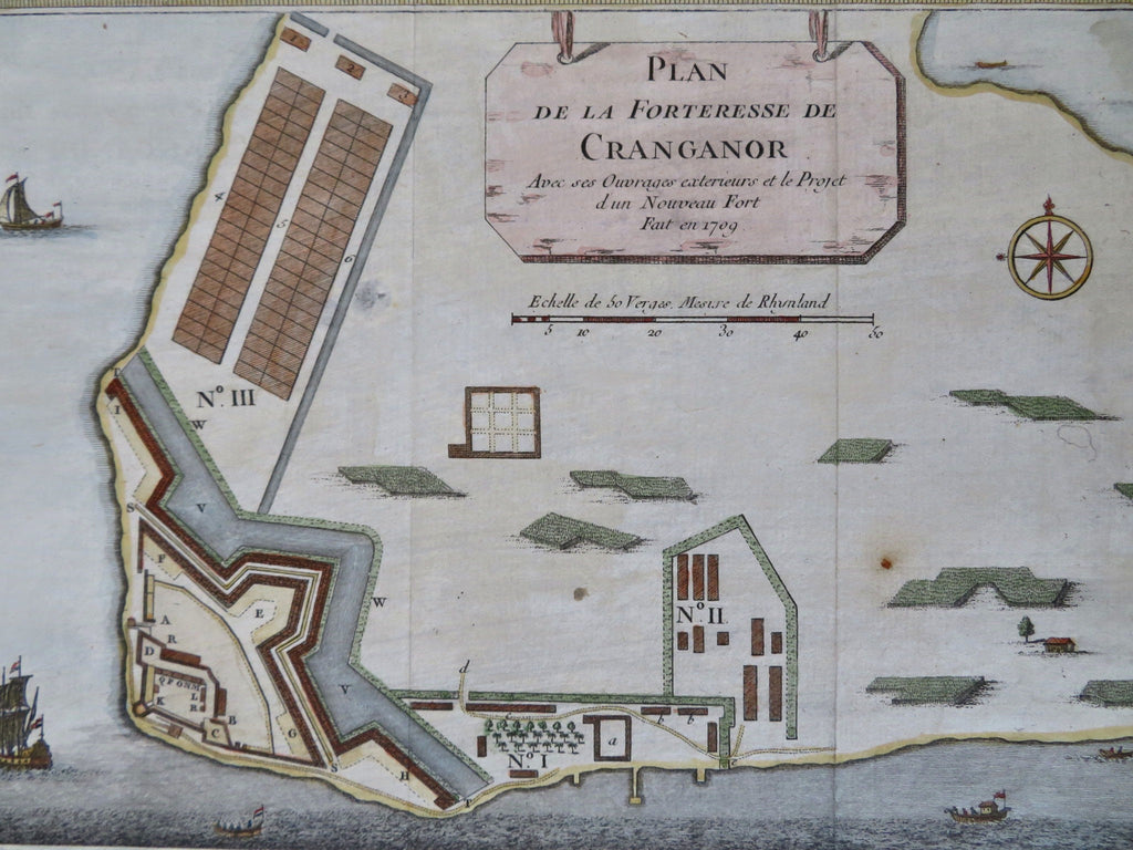
Cranganor Kodungallur India Portuguese Fort Dutch Colony 1761 city plan map
Brian DiMambro


Plan de la Forteresse de Cranganor.
(Old Prints, 18th Century Prints, Asia, India, Portuguese Colonies, Cranganor, Kodungallur, City Plan, Military Fortifications).
Issued c. 1761, Amsterdam.
Mid 18th century engraved city plan with lovely hand color.
Nice looking example, pleasing age patina, any minor age flaws easy to overlook or forgive.
Original fold lines as issued.
Sheet measures c. 9 3/4" H x 13 1/2" W.
Engraved area measures c. 6 3/4" H x 10 1/4" W.
[R34134].
