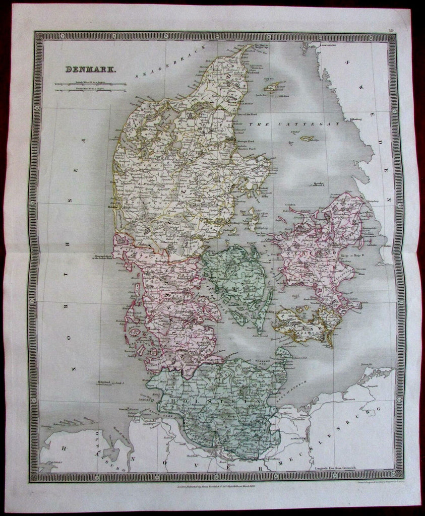
Denmark by itself 1831 by Teesdale Dower lovely antique map
Brian DiMambro- Antiquarian Books, Maps & Prints


Denmark.
(Jutland, Zeeland, Holstein, Mouth of the Elbe River, The Sound, Gulf of Lubeck, Great Belt).
Issued 1831, London, by Henry Teesdale & Co.
Drawn & Engraved by Dower.
Fine early 19th century engraved map with attractive original hand color.
A depiction captured in a manner entirely unique to this era.
Original fold line as issued.
Sheet measures c. 18" H x 14 5/8" W.
Printed area measures c. 16 1/8" H x 13 1/8" W.
Tooleys Dictionary of Mapmakers , v. 1, p. 384.
[R2772].
[R19938].
