Denmark Zealand Sleswick 1782 Bayly scarce engraved hand colored map
Brian DiMambro- Antiquarian Books, Maps & Prints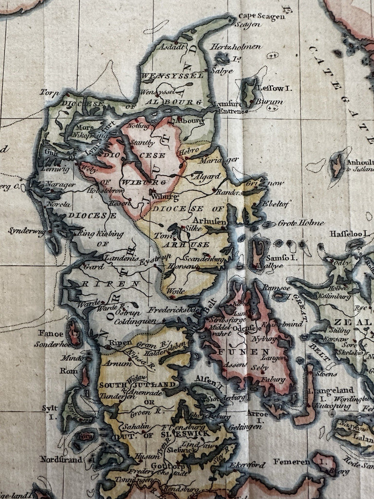
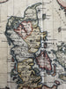
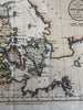
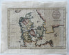
A New Map of Denmark by J. Bayly, Geographer.
Publ. London, 1782 by Harrison & Co.
Uncommon late 18th century engraved map with lovely full hand color.
Original fold lines as issued.
Overall clean and attractive example, some uniform light inoffensive age browning, any age flaws are minor and don't detract visually.
Map still displays well and looks great.
Map sheet measures c.9 3/4" H x 12 1/4" W.
Engraved area c.7 1/2 x 10 3/4" W.
R36132