Dominion of Canada huge 2 sheet physical map 1915 scarce detailed
Brian DiMambro- Antiquarian Books, Maps & Prints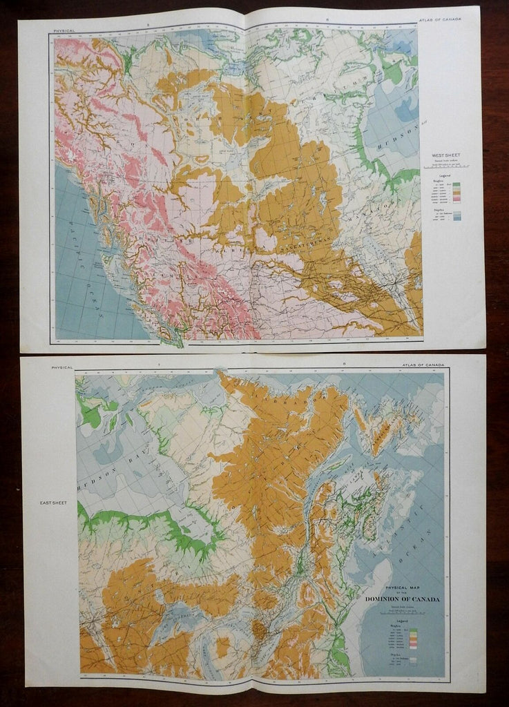

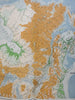
Physical Map of the Dominion of Canada.
(North America, Canada, New Brunswick, Quebec, Ontario, Manitoba, Alberta, Yukon Territory, British Columbia, Great Lakes, St. Lawrence River).
Issued c. 1915.
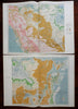
Early 20th century color lithographed map. Map consists of two sheets, please see photos.
Color coded key below title indicates heights of land and depths of water.
Well preserved, nice looking example with pleasing age patina.
Original center folds as issued.
Sheets Measure c. 17 1/4" H x 23 3/4" W.
Engraved Area Measures c. 17" H x 19" W.
[R24583].