Dublin Ireland 1874 uncommon Detailed Tourist city plan map hand colored
Brian DiMambro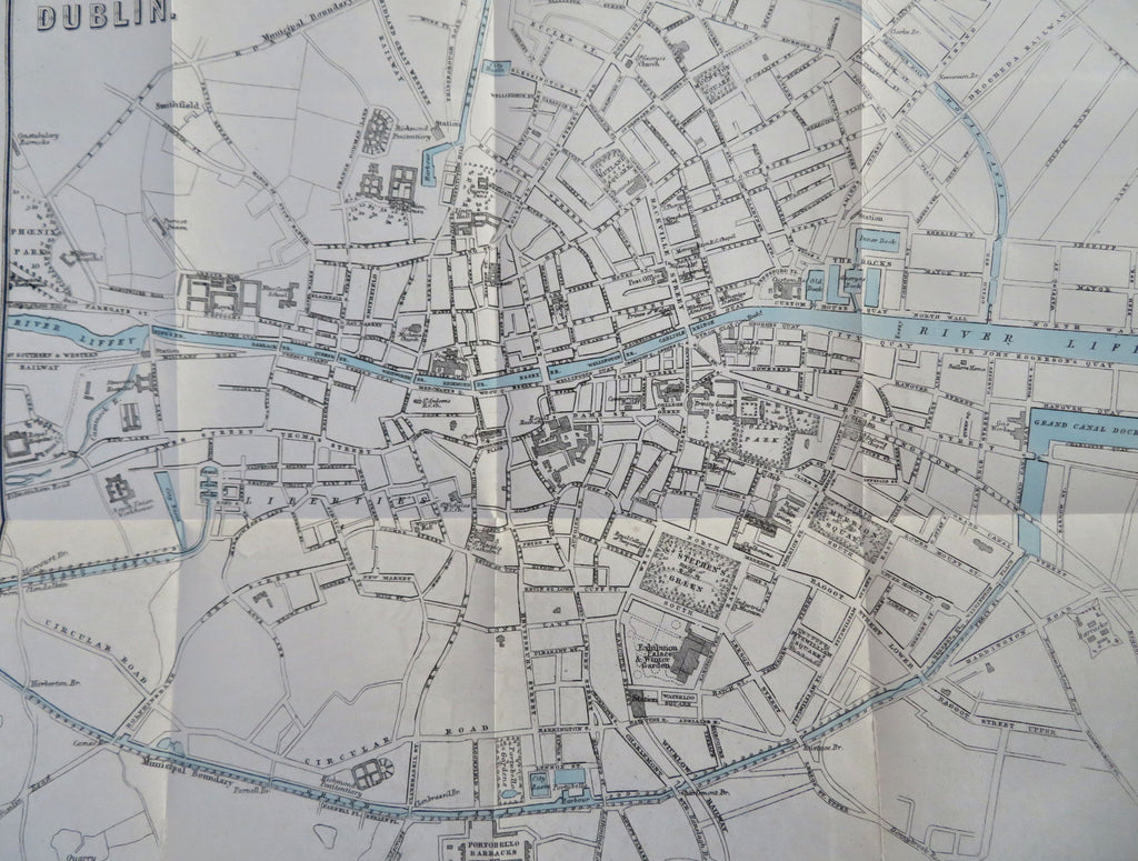


Dublin.
(Old Maps, 19th Century Maps, Europe, Ireland, Dublin, City Plans, Travel, Tourism).
Issued 1874, Edinburgh by A. & C. Black.
Uncommon little 19th century lithographed city plan map for tourists with original hand color.
Well preserved, nice looking example with pleasing age patina.
Original fold-line as issued, couple fold lines with clean short splits now closed on reverse with archival tape and easy to miss or overlook when viewing map.
Sheet Measures c. 9 1/4" H x 11" W.
Printed Area Measures c. 7 1/2" H x 10" W.
Cartographic Reference(s):
Tooley's Dictionary of Mapmakers, vol. 1.
[R34099].