Duchy of Brabant Belgium Luxembourg Brussels Maastricht 1708 de la Feuille map
Brian DiMambro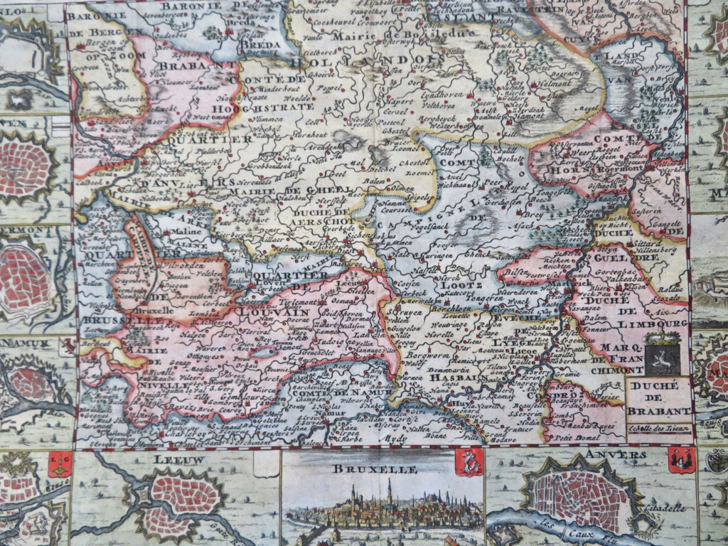
Duche de Brabant.
(Old Maps, 18th Century Maps, Europe, Low Countries, Belgium, Duchy of Brabant, Brussels, Breda, Maastricht, Huy, Leeuw, Liege).
Issued 1708, Amsterdam by de la Feuille.
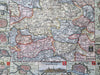
Early 18th century engraved map with lovely hand color. Twelve charming city plans surround map, a birds-eye prospect view of Brussels bottom center.
Remains a nice looking example with a pleasing age patina. Any age flaws mostly minor and easy to overlook or forgive.
Original fold lines as issued.
Sheet Measures c. 7 3/4" H x 10 1/2" W.
Engraved Area Measures c. 7" H x 10" W.
Cartographic Reference(s):
Tooley's Dictionary of Mapmakers, vol. 1.
[R32327].