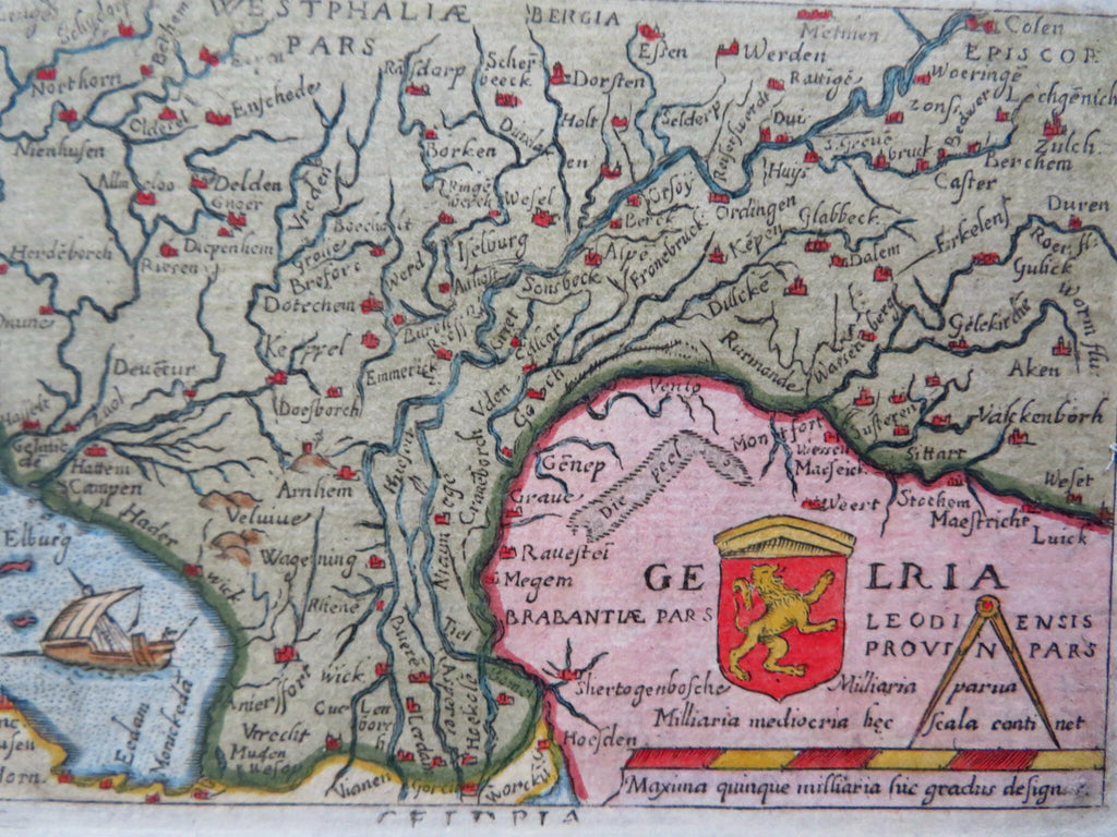
Duchy of Guelders Netherlands Low Countries Zutphen Arnhem c. 1655 Ortelius map
Brian DiMambro


Gelria.
(Old Maps, 17th Century Maps, Europe, Low Countries, Guelders, Zutphen, Geldern, Arnhem).
Issued c. 1655, Venice by Turrini.
Charming, attractive, well-preserved 17th century engraved map with lovely, full hand color. Includes a nice amount of detail, with many individual cities represented by red, cathedral-like buildings. In the ocean we see a sailing ship.
Earlier late 16th century printings of this Ortelius map are much more frequently encountered. This 1655 Venice edition is noteworthy for its scarcity. A close comparison of this example with the 1598 printing reveals the plates used were identical.
Uncommon mid 17th century re-issue of Marcheti's 1598 plate.
Measures c. 5 1/2" W x 3 1/2" H
Cartographic Reference(s):
(See Koeman , III, Ort [70]).
Burden, Mapping of America , 48-50 (mentioning this Marcheti 1598 edition).
[R31105].
