Eastern & Western Hemispheres 1881 Mitchell 2 sheet map
Brian DiMambro- Antiquarian Books, Maps & Prints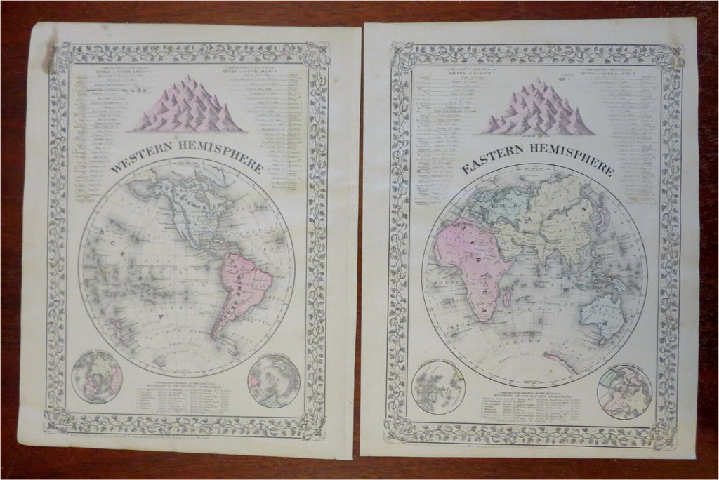
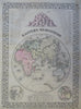
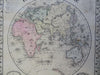
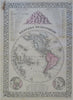
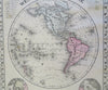
Eastern Hemisphere - Western Hemisphere.
(Old Maps, 19th Century Maps, World Maps, Decorative Maps, Comparative Mountain Heights, River Lengths).
Issued 1881, Philadelphia by S.A. Mitchell.
Fine 19th century engraved (lithographed) map, with original hand color. Mitchell maps of this mid-century era were issued with a range of variant decorative borders.
Across the oceans are shown the tracks of Capt.l Cook's voyages. A comparison of mountain heights is shown at the top of both maps, inset spheres in the bottom corners with mountain height lists between them.
Attractive example, pleasing age patina, overall clean, any minor age flaws easy to overlook or forgive.
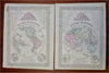
Map consists of two sheets.
Sheet Measures c. 15 1/4" H x 12 1/2" W.
Engraved Area Measures c. 13 3/4" H x 11 1/4" W.
Cartographic Reference(s):
Reps, American Maps and Mapmakers, p. 313.
Tooley's Dictionary of Mapmakers, vol. 4, pp. 260.
[R28634].