Egypt Nubia Sudan Red Sea Nile River 1822 Brue large detailed map hand color
Brian DiMambro- Antiquarian Books, Maps & Prints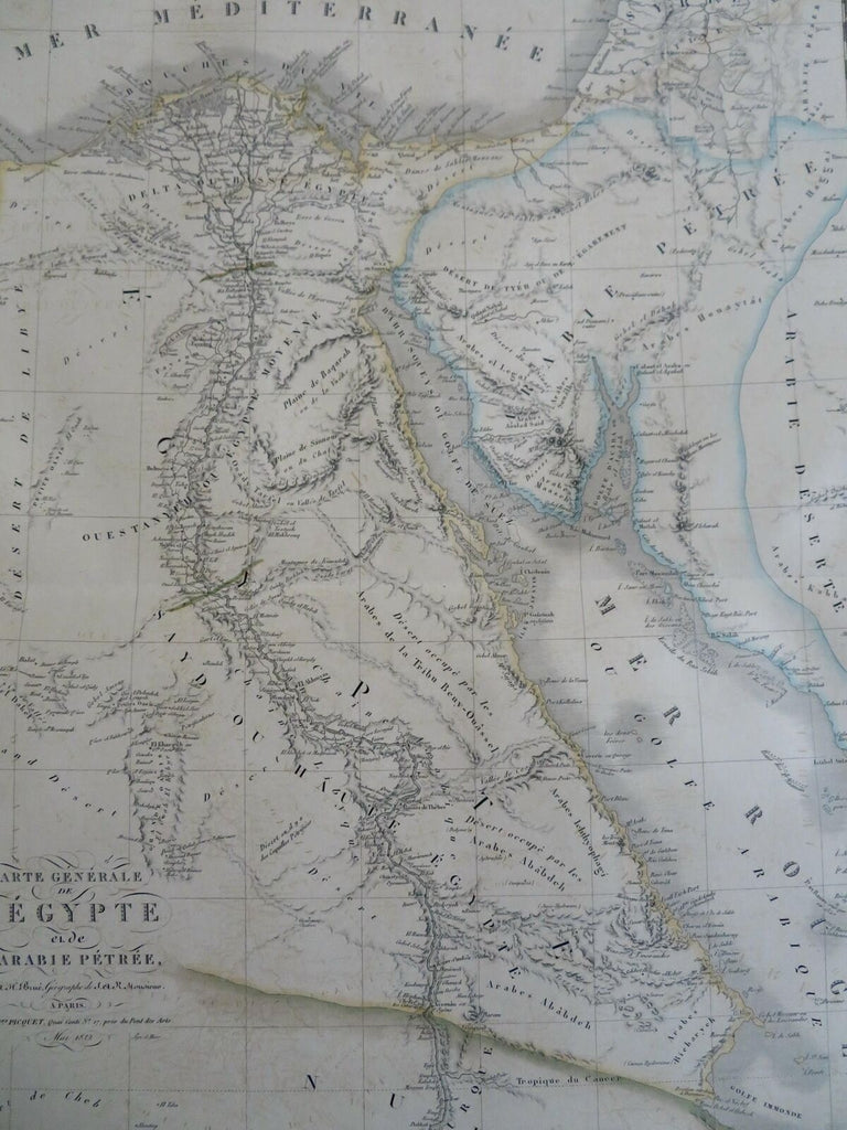
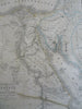
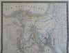
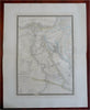
Carte Generale de L'Egypte et de L'Arabie Petree.
(Old Maps, 19th Century Maps, Africa, North Africa, Egypt, Sudan, Nubia, Nile River, Red Sea, Arabian Peninsula).
Issued 1822 Paris by A. Brue. [Delagrave].
Lovely and uncommon early 19th century folio sheet antique map. Engraved with original hand color, piano key border.
Longitude given from Paris.
Some typical light offsetting, but overall clean and attractive.
Original fold line as issued.
Sheet measures c. 19" x 24 1/2"
Engraved area measures c. 14" x 20"
[R30466]
Tooley's Dictionary of Mapmakers, v. 1, p. 199.