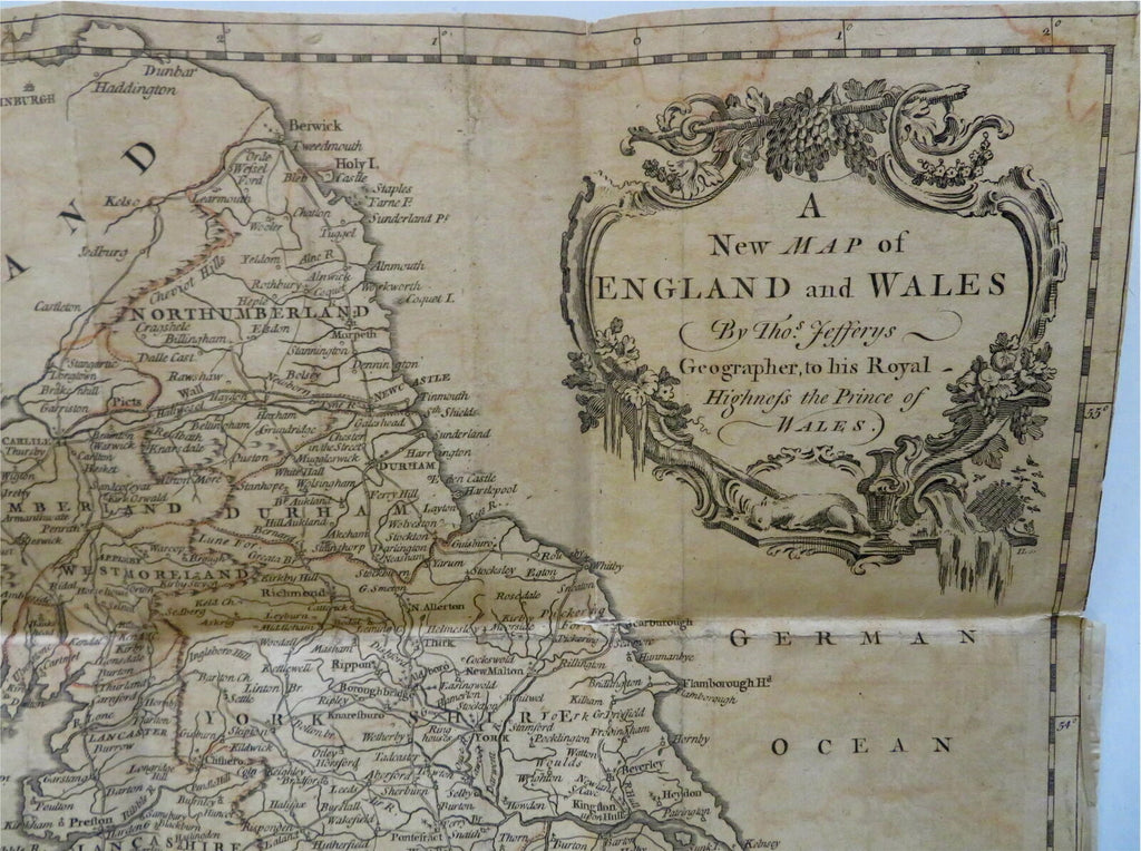
England & Wales British Isles London Cardiff York c 1750-75 Jeffrys engraved map
Brian DiMambro- Antiquarian Books, Maps & Prints


A New Map of England and Wales.
(Old Maps, Europe, British Isles, United Kingdom, England, Wales, London, Cardiff, York, Manchester).
Issued c. 1750-75, London by Jeffrys.
Mid 18th century engraved map with original outline hand color.
Nice large cartouche adds a decorative feel.
Nice looking example, pleasing age patina, narrow top blank margin with small chip at top left corner, minor offsetting, any minor age flaws easy to overlook or forgive.
Original fold lines as issued.
Sheet measures c. 17 1/4" H x 15" W.
Cartographic Reference(s):.
Tooley's Dictionary of Mapmakers, vol. 2.
[R28288].
