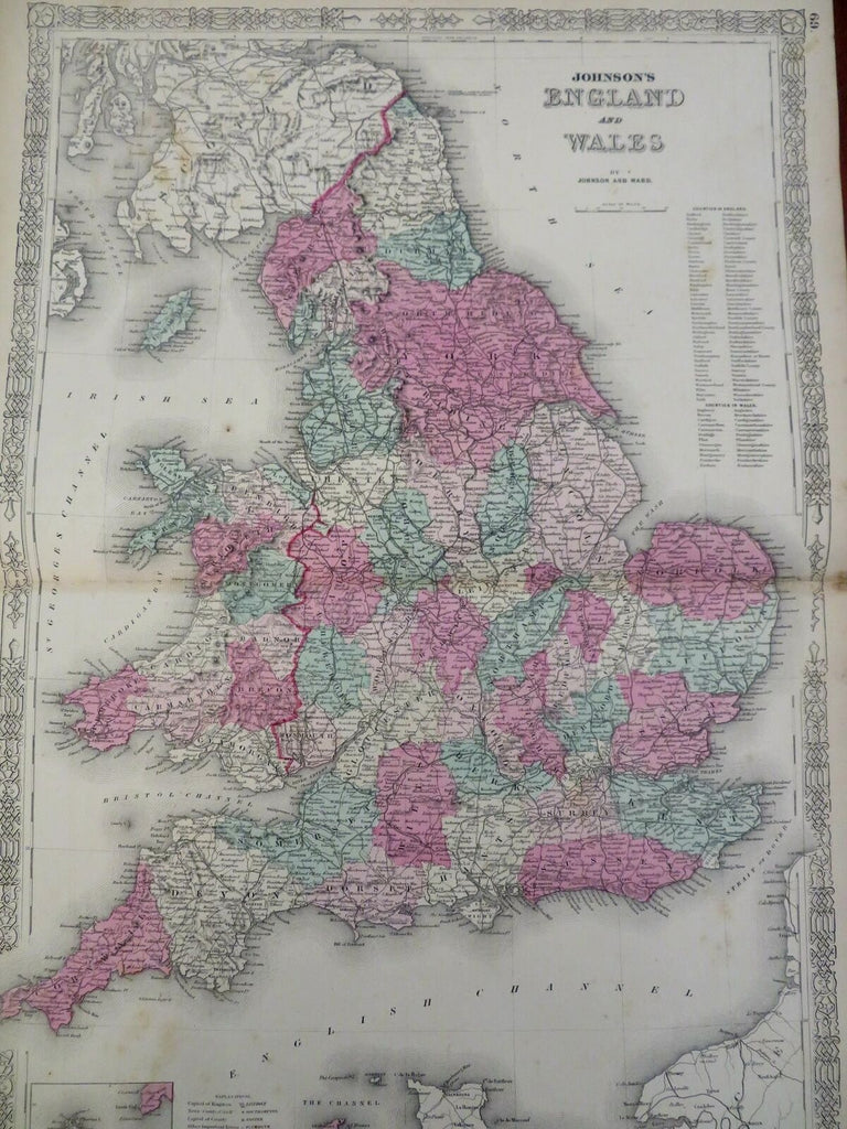
England & Wales United Kingdom 1863 Johnson & Ward scarce folio sheet Map
Brian DiMambro- Antiquarian Books, Maps & Prints


Johnson's England and Wales.
(Old Maps, 19th Century Maps, Europe, British Isles, United Kingdom, England, Wales, London, Cardiff).
Issued 1863, New York by Johnson & Ward.
Uncommon mid 19th century lithographed map, with original hand color. Scarce imprint year, issued during the Civil War.
Nice looking example, pleasing age patina, light soiling and small scattered spotting, any minor age flaws easy to overlook or forgive.
Original center fold as issued.
Sheet Measures c. 18" H x 27" W.
Cartographic Reference(s):
Tooley's Dictionary of Mapmakers, vol. 2, pp. 443
[R29468].
