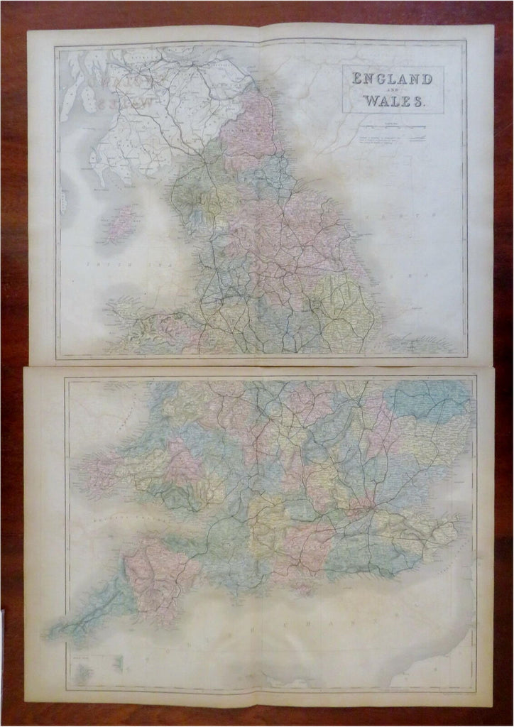
England & Wales United Kingdom London York Cardiff Manchester 1853 Black map
Brian DiMambro


England and Wales.
(Old Maps, 19th Century Maps, Europe, British Isles, United Kingdom, England, Wales, London, Cardiff, York, Manchester).
Issued 1853, Edinburgh by A. & C. Black.
Mid 19th century engraved map with original hand color. Map consists of two (2) separate sheets (as issued), please see photos.
Well preserved, moderate offsetting, still nice looking example with pleasing age patina.
Original center fold as issued.
Sheets Measure c. 17" H x 25" W.
Engraved Areas Measure c. 16" H x 24" W.
Cartographic Reference(s):
Tooley's Dictionary of Mapmakers, vol 1.
[R30979].
