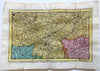
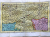
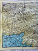
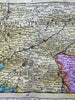
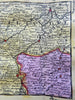
Flanders Belgium 1737 De Lat rare map shows Lille Dunkirk Oudenarde Ghent Ypres
Brian DiMambro- Antiquarian Books, Maps & Prints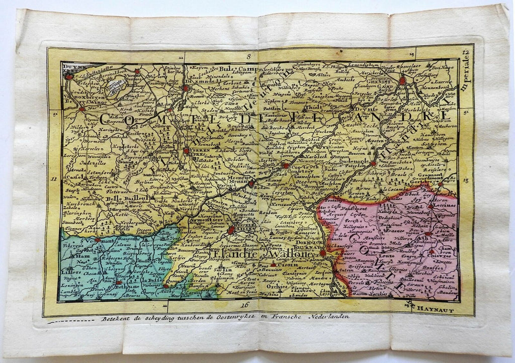
Untitled.
(Europe, Low Countries, Belgium, Flanders, Wallonia, Ypres, Lille Dunkirk, Ghent).
Issued 1737, Deventer by De Lat.
Scarce early 18th century engraved map with original full hand color.
Nice looking example, pleasing age patina, any minor age flaws easy to overlook or forgive.
Original fold lines as issued.
Sheet Measures c. 7 1/8" H x 10 1/4" W.
Engraved Area Measures c. 5 1/4" H x 9" W.
Cartographic Reference(s):
Tooley's Dictionary of Mapmakers, vol. 1.
[R23549-BR225].