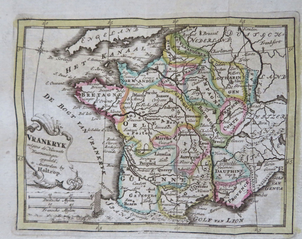
France Ancien Regime Paris Orleans Rouen Marseilles 1780 Holtrop miniature map
Brian DiMambro


Vrankryk.
(Old Maps, 18th Century Maps, Europe, Ancien Regime, France, Brittany, Normandy, Picardie, Champagne, Franche Comte, Orleans, Gascogne, Languedoc, Provence, Dauphine, Burgundy, Lyon).
Issued c.1780-1, Amsterdam by W. Holtrop.
Charming and very scarce late 18th century miniature engraved Dutch map with original outline hand color. Decorative title cartouche.
Nice looking example, pleasing age patina, any minor age flaws easy to overlook or forgive.
Original fold lines as issued.
Sheet measures c. 6 3/8" H x 7" W.
Engraved area measures c. 3 3/4" H x 4 3/4" W.
Cartographic Reference(s):.
Tooley's Dictionary of Mapmakers, vol. 2, pp. 360.
[B12217].
