France Paris Orleans Bordeaux Dijon Toulouse 1745 H. Moll engraved map
Brian DiMambro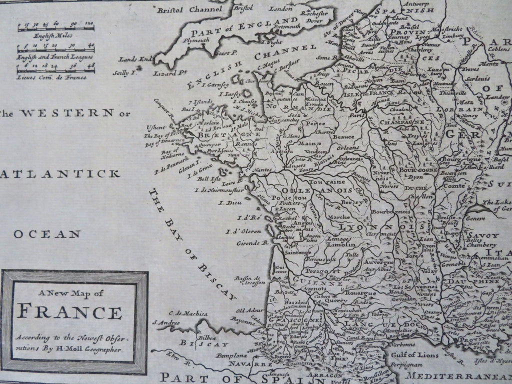
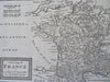
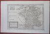
A New Map of France According to the Newest Observations.
(Old Maps, 18th Century Maps, Europe, France, Brittany, Normandy, Picardie, Languedoc, Lyon, Champagne).
Issued 1725-45, London. Engraved by H. Moll.
Fine mid-18th century engraved map.
Nice looking example, pleasing age patina, any minor age flaws easy to overlook or forgive.
Sheet measures c. 9 1/8" H x 13 3/4" W.
Engraved area measures c. 7 1/8" H x 10 1/8" W.
Cartographic Reference(s):.
Tooley's Dictionary of Mapmakers, vol. 3.
[R34326].