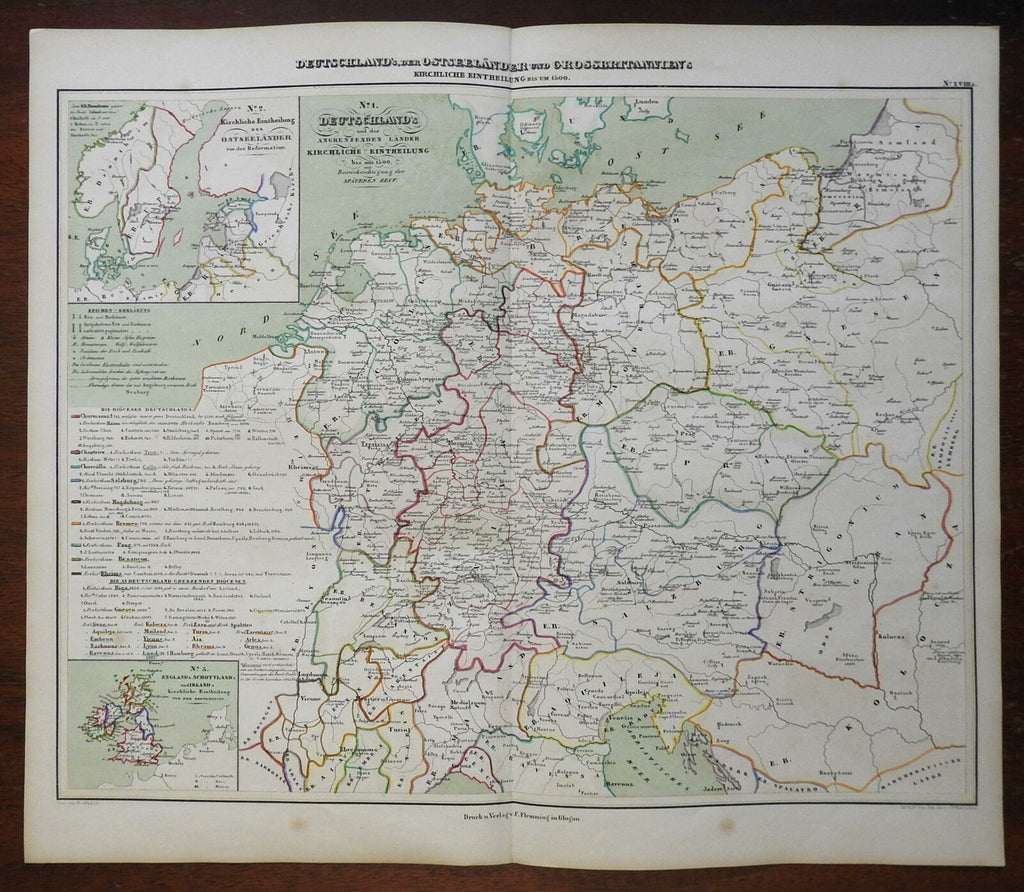
German Austria Bohemia British Isles Scandinavia 1848 Mahlmann historic map
Brian DiMambro- Antiquarian Books, Maps & Prints


Deutschland, der Oesterlaender, und Grossbritannien.
(Historical Maps, Europe, German Confederation, Bohemia, Austria, Prussia, Bavaria, Westphalia, Hanover, British Isles).
Issued 1848, Berlin by Flemming & Mahlmann. Map by von Wedell.
Very uncommon and detailed mid 19th century color lithographed historical map with original outline hand color.
Map is clean and in nice shape, but not new or in new condition. Light age spotting as seen.
Maps displays a lovely age patina, still very worthy of framing and display or close inspection.
Original center fold as issued.
Sheet Measures c. 16 1/2" H x 19" W.
Printed Area Measures c. 14 1/4" H x 17 1/4" W.
Cartographic Reference(s):
Tooley's Dictionary of Mapmakers, vol. 3.
[R26785].
