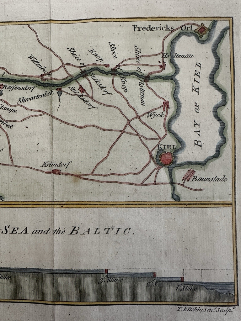
Germany Baltic & North Sea 1784 Kiel canal profile map engraved by Kitchin HC
Brian DiMambro- Antiquarian Books, Maps & Prints


Plan of the Canal of Kiel, which joins the Northern Sea and the Baltic.
Issued 1784, London by T. Cadell. Engraved by T. Kitchin.
A visually superior example, clean, lovely hand coloring, overall map displays a pleasing age patina.
Original fold lines as issued for this map.
Sheet size c.8 1/4" H x 15" W.
Engraved area c.5 3/4" x 13 1/2".
Pictures show this 18th century map well. Please review them carefully at your leisure so you may clearly see what you are buying.
R36461
