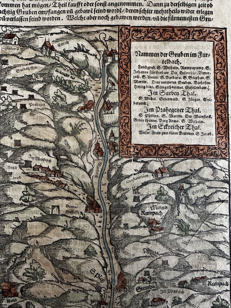
Germany mining operations 1628 Munster map Furtelbach Teutschen Lande
Brian DiMambro- Antiquarian Books, Maps & Prints


von dem Teutschen Lande- Nammen de Gruben im Furtelbach.
Issued 1628, Basel for Munster's monumental Cosmography.
Wood engraved map.
A visually superior example, displays a pleasant age patina. Beautiful hand color greatly enhances the visual appeal.
Sheet size c.13 1/8" H x 7 1/2" W.
Engraved area c. 8 3/8" H x 6" W.
Pictures show this nice early 17th century woodcut map well. Please review them carefully at your leisure so you may clearly see what you are buying.
R36115
