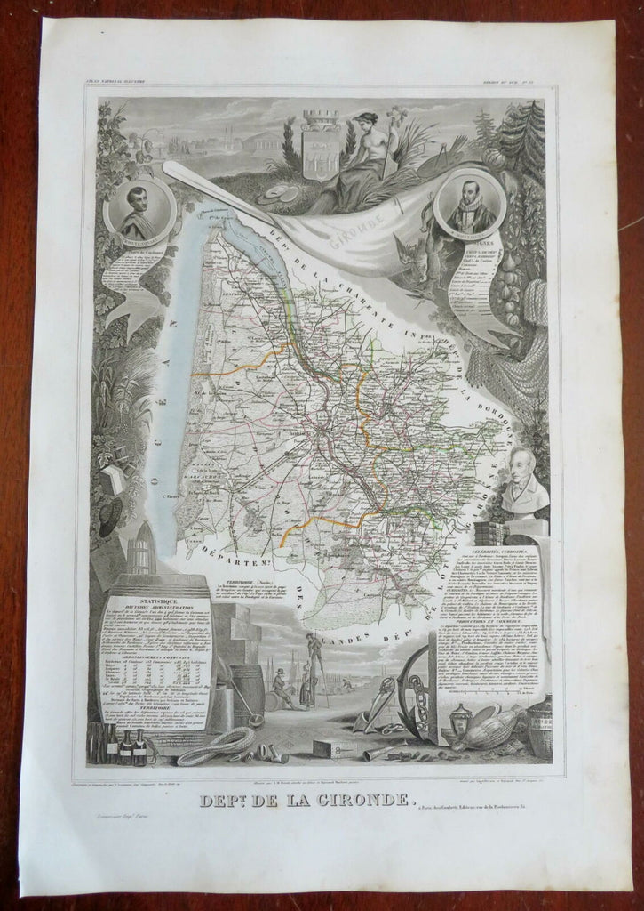
Gironde France Department Bordeaux 1856 Levasseur decorative pictorial map
Brian DiMambro- Antiquarian Books, Maps & Prints


Dept. de la Gironde.
(Europe, France, 2nd French Empire, French Departments, Gironde, Bordeaux).
Issued 1856, Paris by Dupuich and Levasseur. Engraved by Laguillermie & Rainaud.
Lovely large decorative mid-19th century map with original hand color. Decorative vignettes surrounding map greatly enhance visual appeal. This includes a man on wooden stilts and many other types of items.
Remains clean and a nice looking example with a pleasing age patina. Any age flaws mostly minor and easy to overlook or forgive.
Sheet Measures c. 14" H x 20 1/2" W.
Engraved Area Measures c. 10" H x 16 1/4" W.
Cartographic Reference(s):
Tooley's Dictionary of Mapmakers, vol. 1.
[R27081].
