Gouda Tergou Holland Netherlands 1720 pictorial city plan map hand color
Brian DiMambro- Antiquarian Books, Maps & Prints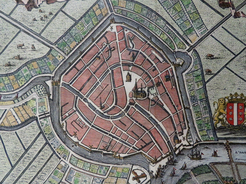
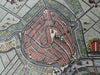
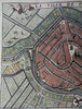
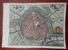
La Ville de Tergou.
(Old Maps, 18th Century Maps, Europe, Low Countries, Netherlands, Holland, Gouda, City Plans, City Walls, Fortifications).
Issued 1720, Amsterdam.
Uncommon/ scarce early 18th century engraved pictorial city plan with attractive hand color.
Early fortified walls with windmills surround the inner city.
Remains a nice looking map with a pleasing age patina. Any age flaws mostly minor and easy to overlook or forgive.
Original fold lines as issued.
Sheet Measures c. 6 1/2" H x 9" W.
Engraved Area Measures c. 5 3/4" H x 7 3/4" W.
[B15815- R31788].