Great Dutchy Poland Lithuania Prussia Warsaw 1792 Kitchen hand colored map
Brian DiMambro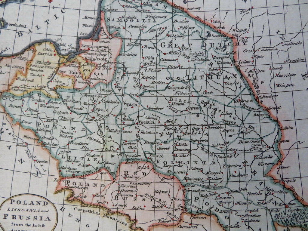
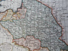
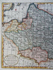
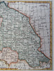
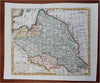
Poland, Lithuania, and Prussia from the Latest Authorities.
(Old Maps, 18th Century Maps, Europe, Poland, Lithuania, Prussia, Red Poland, East Prussia, Danzig, Konigsberg).
Issued 1792, London by Kitchin.
Late 18th century engraved map with attractive hand color.
Remains a nice looking example with a pleasing age patina. Any age flaws mostly minor and easy to overlook or forgive.
Original fold line as issued.
Sheet Measures c. 8 1/4" H x 10 1/4" W.
Engraved Area Measures c. 7 1/4" H x 8 1/2" W.
Cartographic Reference(s):
Tooley's Dictionary of Mapmakers, vol. #2.
[R31216-BR325].