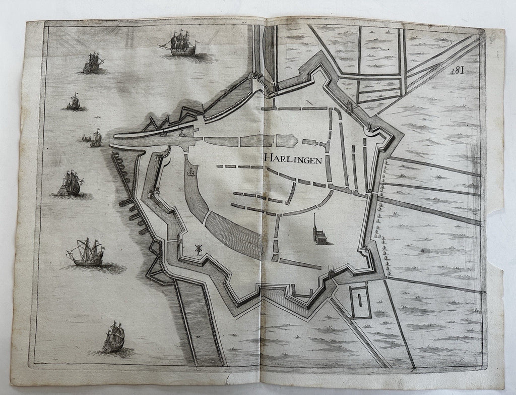
Harlingen fortified walls Holland Netherlands 1673 Priorato city plan folio map
Brian DiMambro- Antiquarian Books, Maps & Prints


(Old Maps, 17th Century Maps, Europe, Low Countries, Holland, Dutch City Plan, Fortifications).
Issued 1673, Vienna by Gualdo Priorato.
Fine late 17th century folio copper engraved plan of this Dutch city.
Tall mast sailing ships off the coastline.
Paper gently wrinkled, old paper repair on reverse across top edge, map still displays very well.
Chip to right side blank margin as seen, short split bottom edge outside neat line.
Clean and well-preserved overall, still an entirely pleasing example of this 17th century Dutch city plan which will look lovely if displayed.
See pictures, they capture condition better than words.
Small Folio, Original fold line as issued.
Sheet measures c. 17 1/2" W x 13 1/4" H.
Engraved area c. 16" W x 12 1/4" H.
Cartographic References:
Hameleers, Kaarten van Amsterdam 1538-1865, 72- (Van Somer/ Gualdo Priorato/ Thurnmayer).
Tooleys Dictionary of Mapmakers , vol. 2, p. 227 (Gualdo).
Graesse, Tresor de Livres Rares et Precious , V. III, 166 [noting this earliest/ first printing although other later printings were issued].
[R36100]
