Holy Land Israel Palestine Jerusalem Dead Sea Travel Distance 1797 engraved map
Brian DiMambro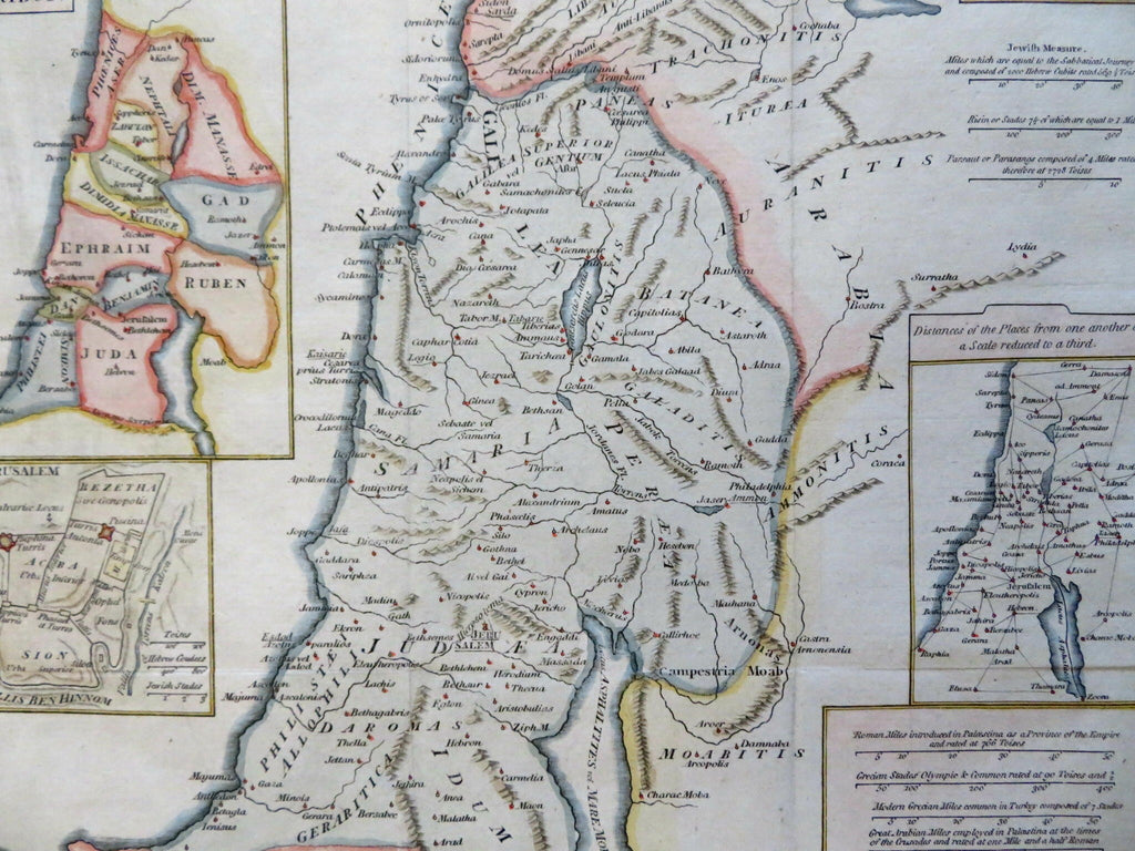
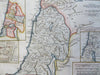
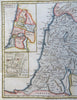

Palaestina.
(Old Maps, 18th Century Maps, Asia, Middle East, Holy Land, Palestine, Israel, 12 Tribes, Jerusalem, Dead Sea, Travel Distances).
Issued 1797, London by Cadell & Davies.
Late 18th century engraved map with attractive hand color.
Remains a nice looking example with a pleasing age patina. Any age flaws mostly minor and easy to overlook or forgive.
Original fold lines as issued.
Sheet Measures c. 9 1/4" H x 11 1/4" W.
Engraved Area Measures c. 8" H x 10" W.
Cartographic Reference(s):
Tooley's Dictionary of Mapmakers, vol. 1.
[R31035].