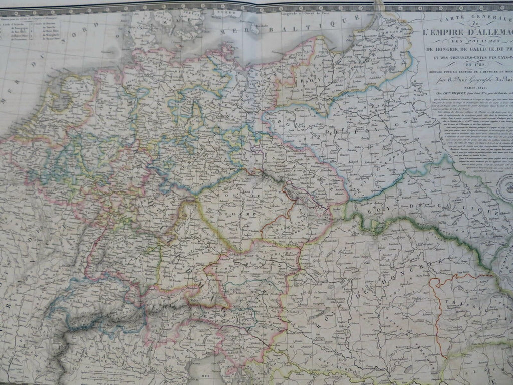
Holy Roman Empire Germany Austria Netherlands Prussia 1826 Brue large folio map
Brian DiMambro- Antiquarian Books, Maps & Prints


Carte Generale de L'Empire D;Allemagne Des Royaumes de Hongrie, De Gallicie, De Prusse, et Des Provinces-Unies Des Pay-Bays en 1789.
(Old Maps, 19th Century Maps, Europe, Revolutionary Europe, Holy Roman Empire, Germany, Prussia, Austria, Hungary, Poland, Bohemia, Netherlands, Bavaria, Westphalia, Hanover, Saxony).
Issued 1826, Paris by Picquet. Map by Brue.
Early 19th century engraved historical map with original outline hand color. Decorative piano key border.
Well preserved, nice looking example with pleasing age patina.
Original center fold as issued. A large oversized sheet.
Sheet Measures c. 21" H x 26 1/2" W.
Engraved Area Measures c. 14" H x 20" W.
Cartographic Reference(s):
Tooley's Dictionary of Mapmakers, vol. 1.
[R28552].
