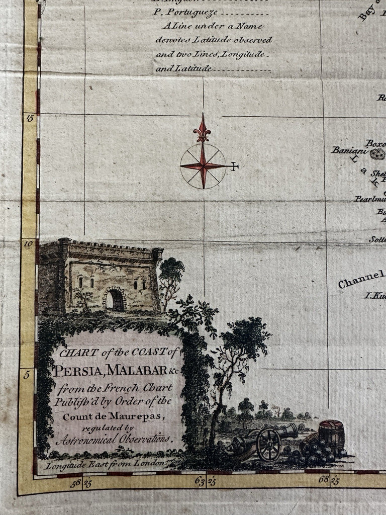
India Coast of Persia Malabar Hindoostan 1770 rare periodical decorative map
Brian DiMambro- Antiquarian Books, Maps & Prints


Chart of the Coast of Persia, Malabar & c(etera). from the French Chart publ. by Order of the Count de Maurepas, regulated by Astronomical Observations.
Issued Oct. 1770, London for London Magazine.
A visually superior example, clean, lovely hand coloring, overall map displays a pleasing age patina.
Orig. fold lines, some wrinkling, signs of wear.
Original fold lines as issued for this rare map. Far scarcer than atlas maps of this era, which are scarce enough.
Minor scattered age spotting, light uniform paper toning, visually appealing.
Sheet size c. 10 3/8" H x 8" W.
Engraved area c. 9" H x 7" W.
Pictures show this scarce 18th century map well. Please review them carefully at your leisure so you may clearly see what you are buying.
B15479
Jolly, Maps in British Periodicals, LOND-187.
