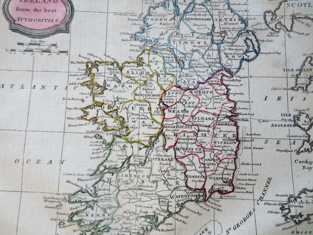
Ireland w/ Discovery Nymph Bay by Capt. Doyle 1806 Barlow & Brightly HC map
Brian DiMambro


Ireland from the Best Authorities.
(Old Maps, 19th Century Maps, Europe, British Isles, Ireland, Ulster, Leinster, Connaught, Munster, Dublin, Derry, Galway, Cork, Belfast, Limerick).
Issued 1806, Bungay, England by C. Brightly & E. Kennersly. Engraved by E. Barlow.
Scarce early 19th century engraved map with original outline hand color.
At bottom center is "Nymph Bank- Discovered in 1735 by Capt. Doyle".
Well preserved, bottom edge displays stitch holes from once having been bound into an atlas, nice looking example with pleasing age patina.
Sheet Measures c. 8" H x 9 3/4" W.
Engraved Area Measures c. 7 1/4" H x 8 1/2" W.
Cartographic Reference(s):
Tooley's Dictionary of Mapmakers, vol. 1.
[R31851-BR225].
