Kamchatka Peninsula Russian Empire East Asia 1760 Bellin map
Brian DiMambro- Antiquarian Books, Maps & Prints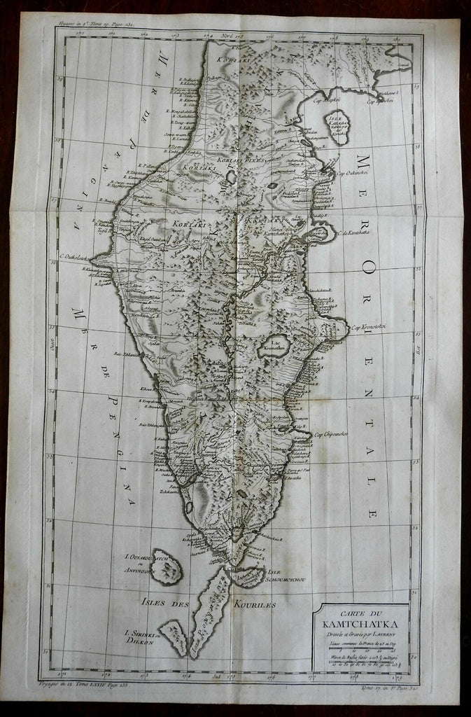
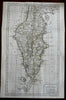
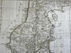
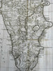
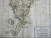
Carte du Kamtchatka.
(Asia, Russian Empire, Kamchatka).
Issued 1760, Paris by Bellin. Engraved by Laurent.
Large detailed mid-18th century engraved map with a pleasing, strong impression.
Nice looking example, pleasing age patina, some small old age brown spots, any minor age flaws easy to overlook or forgive.
Original fold lines as issued.
Sheet measures c. 21 1/2" H x 14" W.
Engraved area measures c. 20 1/4" H x 11 5/8" W.
Cartographic Reference(s):.
Tooley's Dictionary of Mapmakers, vol.1.
[R24883].