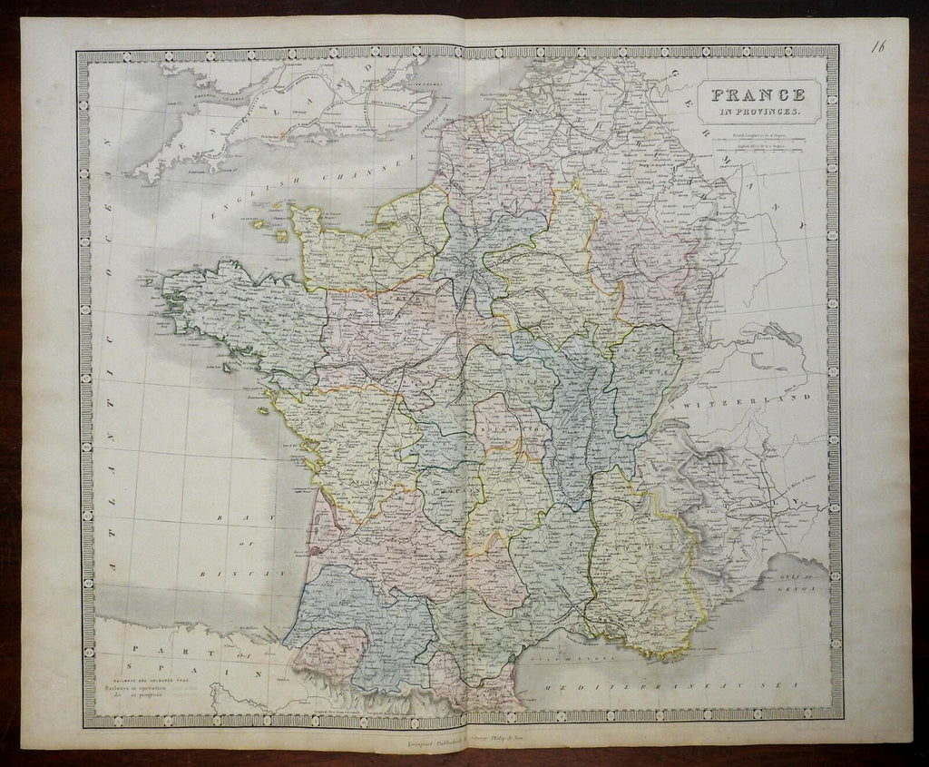
Kingdom of France Ancien Regime Normandy Champagne Provence Burgundy 1860 map
Brian DiMambro- Antiquarian Books, Maps & Prints


France in Provinces.
(Europe, Kingdom of France, Ancien Regime, Brittany, Normandy, Isle de France, Champagne, Burgundy, Poitou, Maine, Gascony, Provence, Languedoc).
Issued c. 1860, Liverpool by George Philip & Son.
Mid 19th century engraved map with lovely original hand color and piano key border.
Nice very large map, oversized format allows for a pleasing level of detail and color.
Nice looking example, pleasing age patina, any minor age flaws easy to overlook or forgive.
Original center fold as issued.
Sheet Measures c. 21 3/4" H x 26 1/4" W.
Engraved Area Measures c. 19 3/4" H x 22 1/4" W.
Cartographic Reference(s):
Tooley's Dictionary of Mapmakers, vol. 3.
[R24383].
