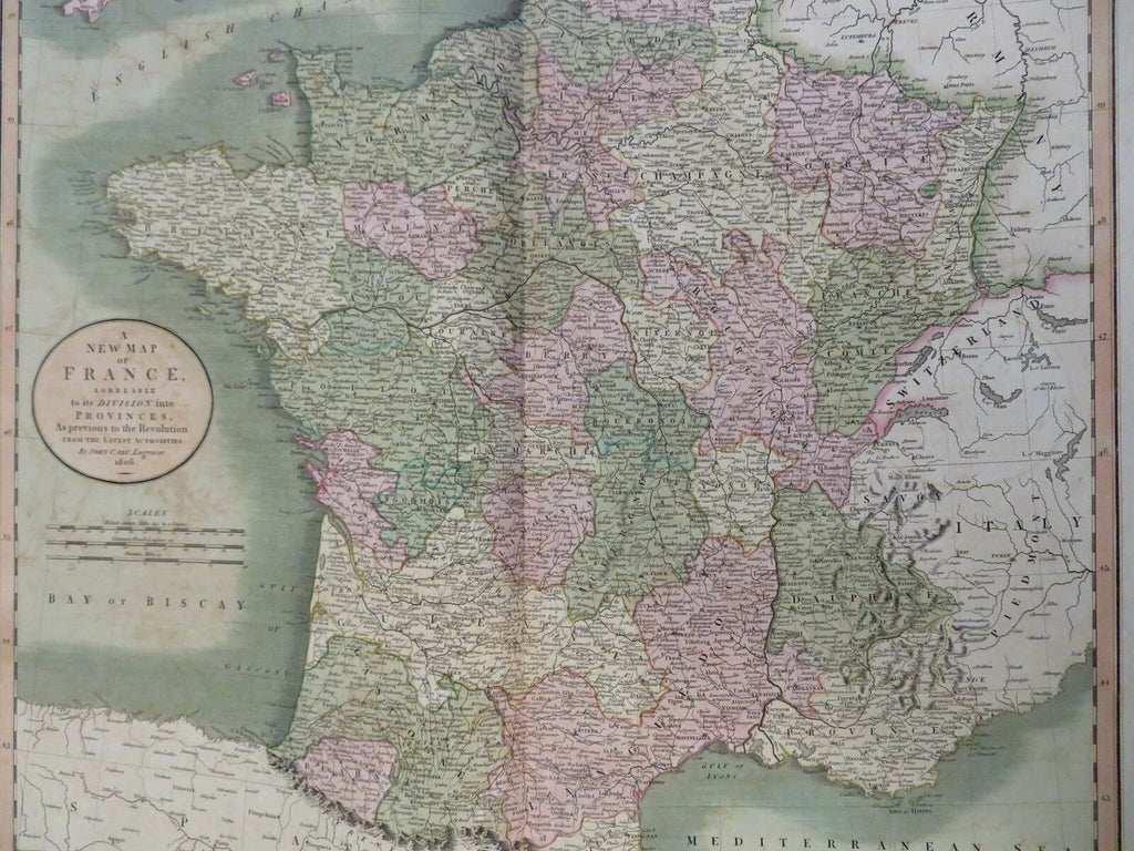
Kingdom of France Bourbons Ancien Regime Paris Orleans 1806 Cary large map
Brian DiMambro- Antiquarian Books, Maps & Prints


A New Map of France, Agreeable to Its Division Into Provinces as Previous to the Revolution from the Latest Authorities.
(Old Maps, 19th Century Maps, Europe, France, Ancien Regime, Bourbon France, Paris, Orleans, Dijon, Bordeaux, Provence, Toulouse, Marseilles).
Issued 1806, London by John Cary.
Early 19th century engraved map with lovely original hand color.
Well preserved, nice looking example with pleasing age patina.
Sheet Measures c. 21 1/2" H x 25 1/4" W.
Engraved Area Measures c. 18" H x 20 1/4" W.
Cartographic Reference(s):
Tooley's Dictionary of Mapmakers, vol. 1.
[R29118].
