Little Falls New York Watertown c. 1850 Pease lot x 2 historical city plan
Brian DiMambro


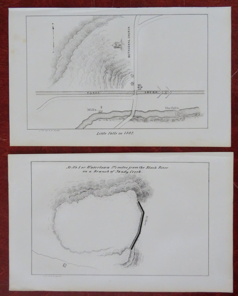
Little Falls in 1802 - At No. 3 or Watertown, 2 1/2 Miles from the Black River on a Branch of Sandy Creek.
(Old Maps, 19th Century Maps, Americana, Historical Maps, New York, Little Falls, Watertown, Black River, Sandy Creek, City Plan).
Issued 1850, New York by R.H. Pease.
Mid 19th century lithographed historical city plan of this New York town & location. Lot consists of two maps, please see photos.
Sheets Measure c. 5 1/2" H x 8 3/4" W.
Printed Areas Measure c. 4 1/2" H x 7" W.
[B10690].
