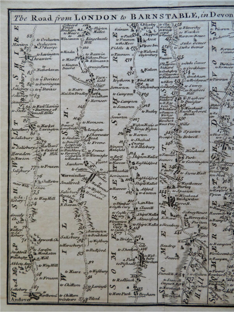
London to Barnstable to Truro Cornwall 1775 Bowen engraved road map travel
Brian DiMambro- Antiquarian Books, Maps & Prints


The Road from London to Barnstable in Devonshire, Commencing at Andover in ye Road to Ye Lands End, Also from Barnstable to Truro.
(Old Maps, 18th Century Maps, Europe, British Isles, United Kingdom, England, London, Devonshire, Barnstable, Cornwall, Truro, Road Map, Travel).
Issued July, 1775, London for the Gentleman's Magazine. Engraved by Thomas Bowen.
Late 18th century engraved road map which appeared within a periodical as opposed to an atlas.
Nice looking example, pleasing age patina, any minor age flaws easy to overlook or forgive.
Original fold lines as issued.
Sheet measures c. 8 1/4" H x 12 3/4" W.
Engraved area measures c. 6 1/2" H x 11"W.
Cartographic Reference(s):.
Tooley's Dictionary of Mapmakers, vol. 1.
[R28436].
