Martinique Caribbean Island Fort-de-France 1762 Kitchin charming hand color map
Brian DiMambro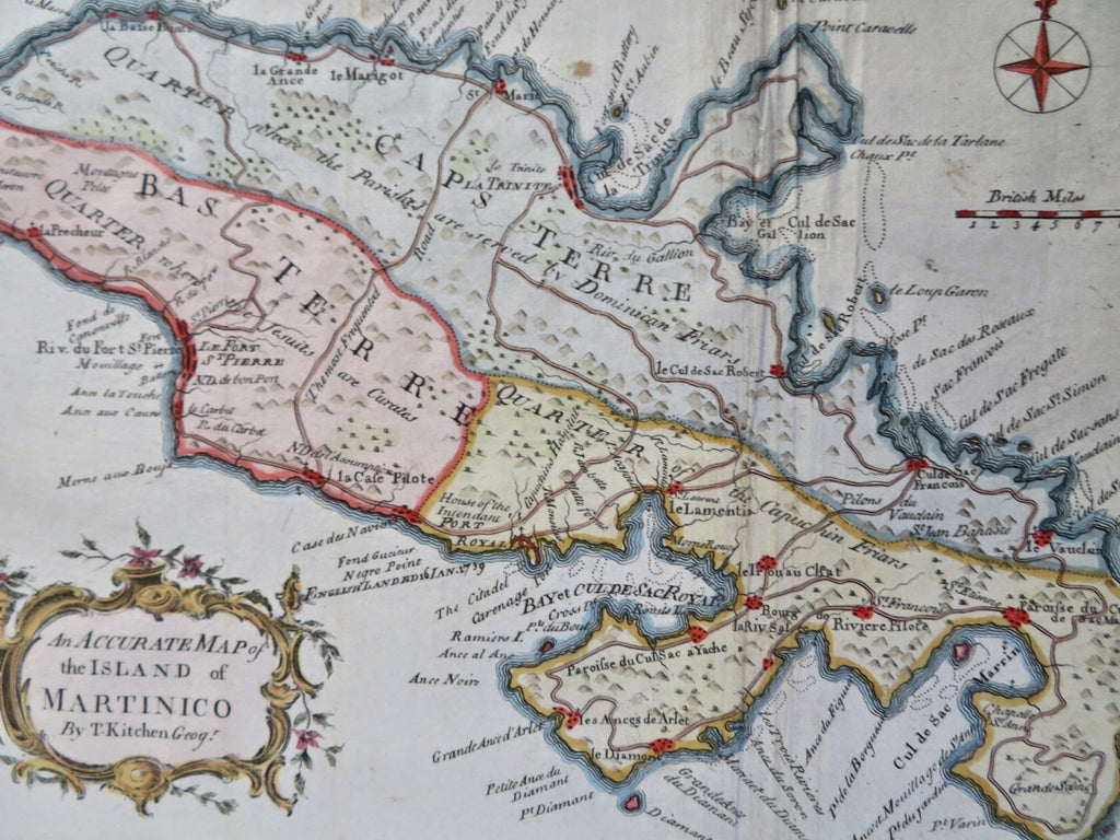
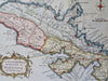
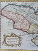
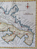
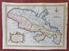
An Accurate Map of the Island of Martinoco.
(Old Maps, 18th Century Maps, North America, Caribbean, Martinique, Fort de France).
Issued 1762, London. Map by Kitchin.
Charming mid 18th century engraved map with attractive hand color. Appeared within a London periodical.
Scroll and vegetation cartouche, compass rose and British Miles distance scale at top right.
Remains a nice looking example with a pleasing age patina, some extraneous wrinkling as seen. Any age flaws mostly minor and easy to overlook or forgive.
Sheet Measures c. 7 3/4" H x 10 1/2" W.
Engraved Area Measures c. 7" H x 9 1/2" W.
Cartographic Reference(s):
Tooley's Dictionary of Mapmakers, vol. 2.
[R36093-R32192].