Martinique Caribbean Island French Colonies 1855 Lemercier decorative map
Brian DiMambro- Antiquarian Books, Maps & Prints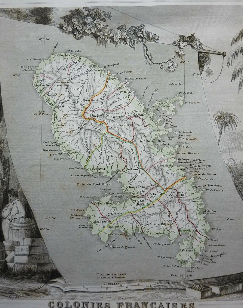
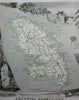
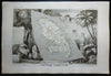
Colonies Francaises (Martinique Amerique du Sud).
(North America, Caribbean Sea, French Colonies, Martinique, Port Royal).
Issued c. 1855, Paris by Lemercier. Engraved by Laguillermie. Geography by Levasseur, vignette by Bonheur.
Wonderful decorative mid 19th century engraved map with original outline hand color.
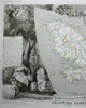
Lovely elaborate decorative vignette border all around the central map greatly enhances the visual appeal. This includes figures, numerous types of animals and birds, etc.
Well preserved, nice looking example with pleasing age patina.
Sheet Measures c. 13 3/4" H x 20 1/4" W.
Engraved Area Measures c. 11 1/2" H x 16 1/4" W.
Cartographic Reference(s):
Tooley's Dictionary of Mapmakers, vol. 2.
[R26695].