Middle East Arabia Holy Land Persia India Sogdiana 1768 Toms hand colored map
Brian DiMambro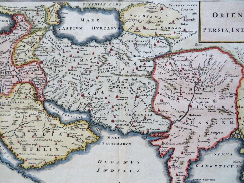
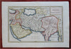
Oriens: Persia, India, Etc.
(Old Maps, 18th Century Maps, Asia, Middle East, Anatolia, Cappadocia, Syria, Mesopotamia, Babylonia, Arabia, Persia, Iran, India, Caspian Sea, Armenia, Sogdiana).
Issued 1768, London by W.H. Toms.
Mid 18th century engraved map with attractive hand color.
Remains a nice looking example with a pleasing age patina. Any age flaws mostly minor and easy to overlook or forgive.
Original center fold as issued.
Sheet Measures c. 10 1/2" H x 14 3/4" W.
Engraved Area Measures c. 8" H x 12" W.
Cartographic Reference(s):
Tooley's Dictionary of Mapmakers, vol.4.
[R31021].