Napoleonic France 1st Empire Revolutionary France 1806 Glot Desray six sheet map
Brian DiMambro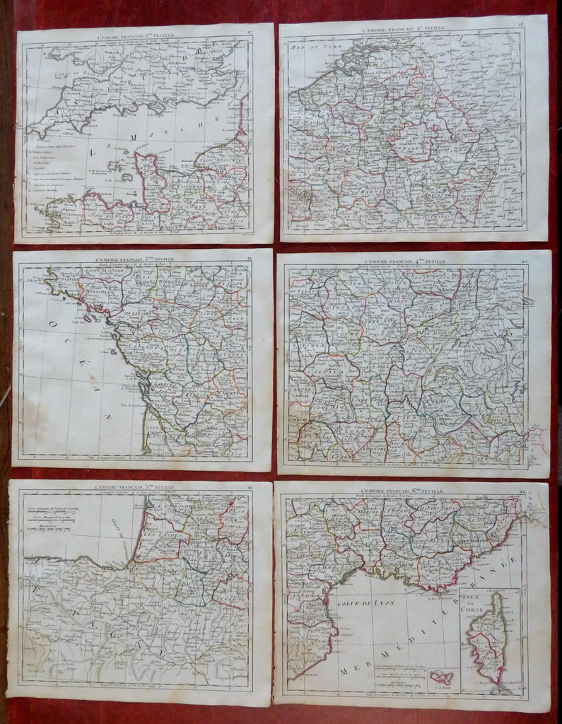
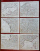
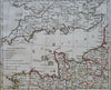
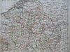
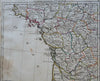
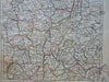
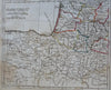
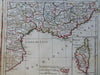
L'Empire Francais.
(Old Maps, 19th Century Maps, Europe, France, Revolutionary France, 1st Empire, Napoleonic France).
Issued 1806, Paris by Desray. Engraved by Glot.
Early 19th century antique engraved map with original outline hand color.
Well preserved, nice looking example with pleasing age patina.
Soft original fold lines as issued for a rare tiny pocket atlas, pressed flat long ago. Map consists of six sheets, please see photos.
Sheets Measure c. 8" H x 9" W.
Engraved Areas Measure c. 7" H x 8 1/2" W.
Cartographic Reference(s):
Tooley's Dictionary of Mapmakers, vol. 1.
[B10478].