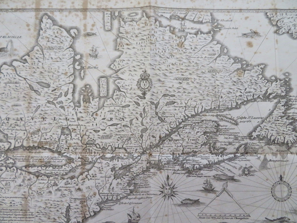
New France North American French Colony St. Lawrence Seaway 1850 historical map
Brian DiMambro


Champlain's Map of New France, 1632.
(Old Maps, 19th Century Maps, Historical Maps, North America, New France, St. Lawrence Seaway, Great Lakes, Ontario, New England, Newfoundland).
Issued 1850, New York.
Mid 19th century lithographed historical map.
Moderate spotting across the sheet as seen, an uncommon and interesting map.
Original fold lines as issued.
Sheet Measures c. 12" H x 18" W.
Engraved Area Measures c. 10 1/4" H x 17 1/4" W.
[B14726].
