New South Wales Australia 1858 Weller Weekly Dispatch map Tooley #1318 detailed
Brian DiMambro- Antiquarian Books, Maps & Prints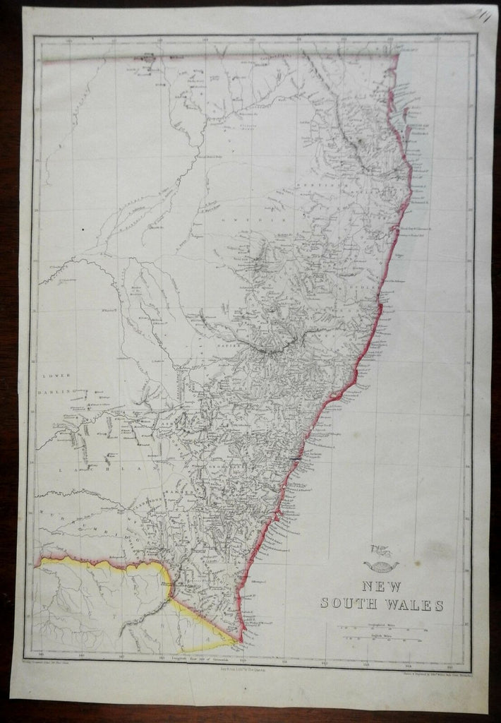
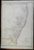
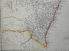
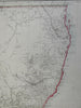
New South Wales.
(Oceania, Australia, New South Wales, Sydney)
Issued c. 1858, London by Day & Son. Map by E. Weller.
Fine antique lithographed map with original outline color.
Minor smudge near title, slight thin long crease near bottom center (easy to miss or overlook), overall clean and nice looking example. Hundreds of place names shown as well as extensive interior topographical terrain. Small pictorial devices above title.
Tooley, Mapping of Australia, 1318.
Sheet Measures c. 19" H x 13" W.
Printed Area Measures c. 17" H x 12" W.
Cartographic Reference(s):
Tooley's Dictionary of Mapmakers, vol. 4.
[PL7 - R2905].