New South Wales Australia Lake Torrens Hook Shape Gold 1853 Hughes scarce map
Brian DiMambro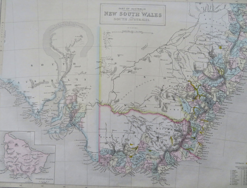
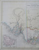
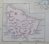
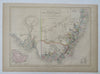
Part of Australia comprising the settled portion of New South Wales and South Australia
Issued Edinburgh, 1853 by A. & C. Black. Engraved in London by W. Hughes.
Lovely mid-19th century antique map. Engraved with original hand color.
Scarce map, appearing only briefly in this manner*.
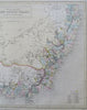
Note the prominent erroneously hook-shaped Lake Torrens at left, one of the more dramatic appearances of this short-lived cartographic myth. Gold deposits highlighted in bright yellow according to key lower right.
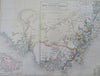
A nice level of topographic detail adds to the map's visual appeal. Inset lower left of Norfolk Island showing a settlement.
Paper gently and uniformly age-toned, but otherwise a clean and fine example. Map displays a pleasant, mellow age patina.
Sheet measures c. 12 1/4" x 17 1/4".
Printed area measures c. 10 1/4" x 14 1/2".
*Tooley, Mapping of Australia, IV , NSW; 95. (noting numerous successive states,e ach appearing for only a brief period).
Tooley's Dictionary of Mapmakers , vol. 2, p. 253.
[R35549].