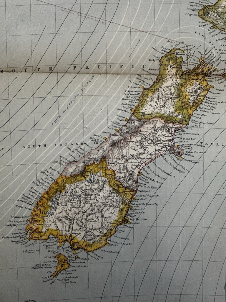
New Zealand 1881 Lett’s map shows ocean currents light houses submarine cables
Brian DiMambro- Antiquarian Books, Maps & Prints


Statistical Map of New Zealand.
Issued 1880-81, London by Letts.
Color lithographed. Of note for identifying lighthouses, seasonal ocean currents and submarine cables used for communication with the world.
Overall clean nice example, just light signs of time or age. Orig. centerfold.
Map centerfold not as browned as it looks in the digital pic.
Map still displays very well and could readily be framed for display.
Large folio sheet.
sheet size c.17" x 14".
R36162
