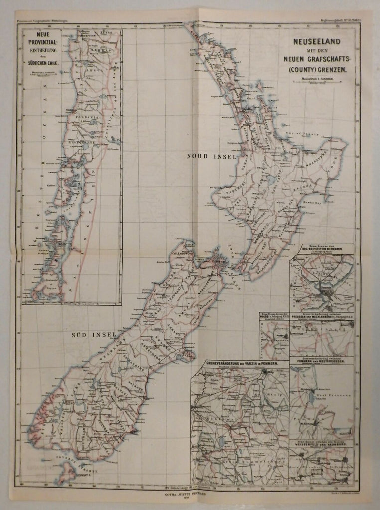
New Zealand by itself w/ insets 1878 Petermann's large scarce map hand color
Brian DiMambro- Antiquarian Books, Maps & Prints


Neuseeland mit den Neuen Grafschafts-(County) Grenzen.
(Oceania, New Zealand, North Island, South Island, Wellington, Christchurch, Chile, Pomerania, Prussia, Mecklenburg).
Issued 1878, Gotha by Justus Perthes.
Scarce large detailed 19th century map, with original hand color. Issued within a periodical and scarce thus.
Notable in that the main geography depicted is New Zealand, but the insets refer to Chile and Germany. A strange and charming conglomeration from Petermann's, one of Germany's most prestigious 19th century Geographic magazines.
Nice looking example, pleasing age patina, some lightly visible offsetting, any minor age flaws easy to overlook or forgive.
Sheet Measures c. 20 1/4" H x 13 3/4" W.
[R21167].
